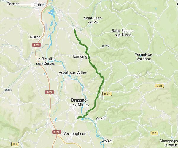
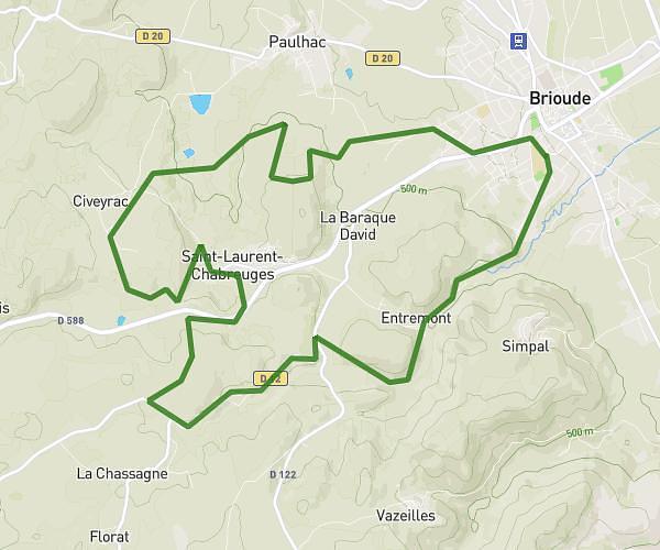
This running route covers 8.162mi starting from Saint-Géron, Haute-Loire. The run is a loop trail and returns to the trailhead. This run is rated as hard, expect about 1h19m to complete it. The route has an elevation gain of 955ft and an elevation loss of 965ft.
St geron
Route details
6.19mph
Speed
904 kcal
Calories burned
Loop trail
Route type
1424ft
Min altitude
2110ft
Max altitude
Route profile
955ft
Elevation gain
965ft
Elevation loss
1424ft
Min altitude
2110ft
Max altitude
How to get there
Trailhead: Rue Du Chavagnot, 43360 Saint-Géron
GPS coordinates of the trailhead: 45.34411, 3.29671 / 45°20'38'' N, 3°17'48'' E