MapPlanner
3.447mi
Distance
27m44s
Duration
7.46mph
Speed
+187ft
Elevation gain
-180ft
Elevation loss
Easy
Level

ile du GAOU

Route details

246 kcal
Calories burned
2.0%
Avg grade
Loop trail
Route type
-3ft
Min altitude
39ft
Max altitude

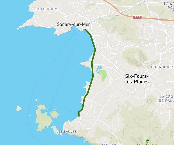
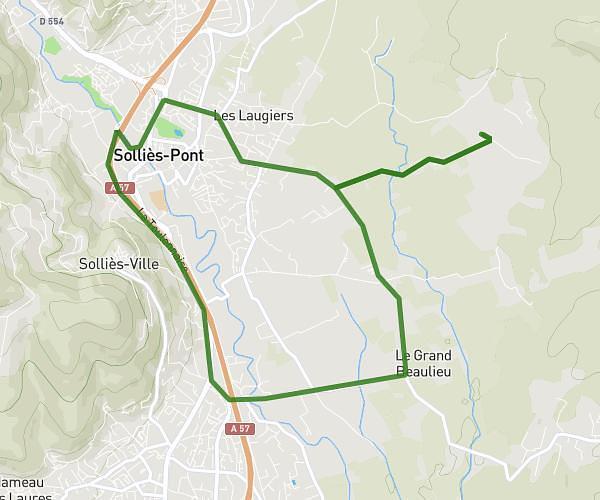
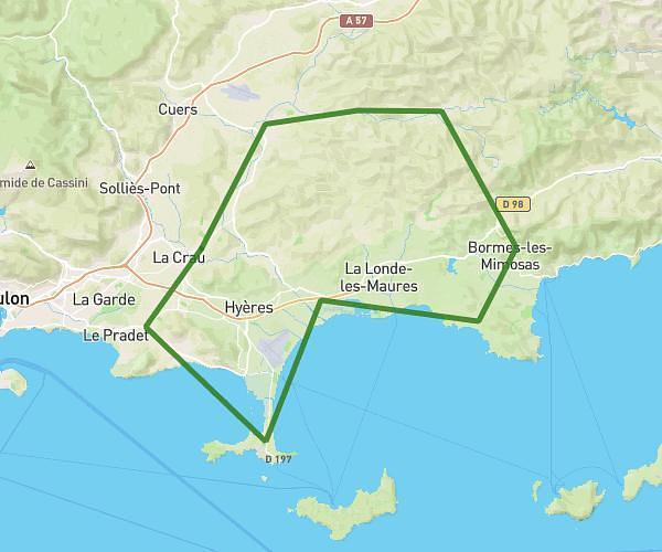
This cycling route covers 3.447mi starting from Six-Fours-les-Plages, Var. The ride is a loop trail and returns to the trailhead. This route is rated as easy, plan for about 27m44s to complete it. The route has an elevation gain of 187ft and an elevation loss of 180ft.

Route profile

187ft
Elevation gain
180ft
Elevation loss
-3ft
Min altitude
39ft
Max altitude

How to get there

Trailhead: 652 Avenue Des Palmiers, 83140 Six-Fours-les-Plages, France

GPS coordinates of the trailhead: 43.076925, 5.808026 / 43°4'36'' N, 5°48'28'' E

Caution: May Cross Private Property

This route may pass through or near private property. Always respect posted signs, obtain permission where required, and follow local trespassing laws. MapPlanner does not guarantee public access along any route.

Safety Notice

Trail and road conditions may change without notice due to weather, construction, or other factors. Always verify current conditions before heading out. You are responsible for your own safety — follow local signage, obey traffic laws, and use your best judgment on the trail.