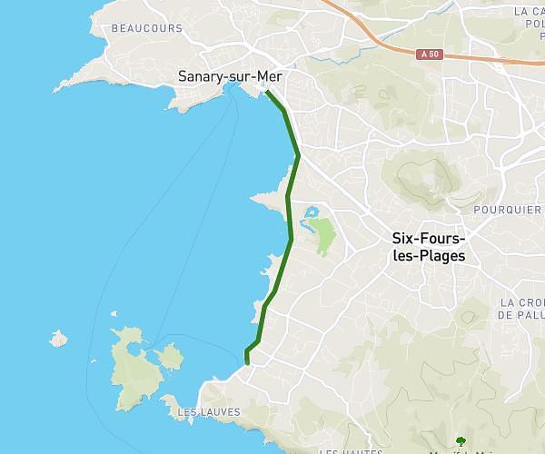
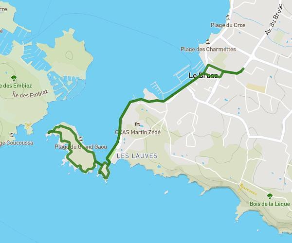
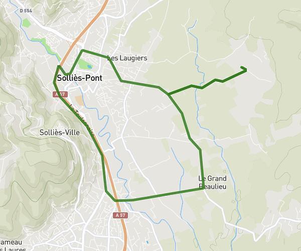
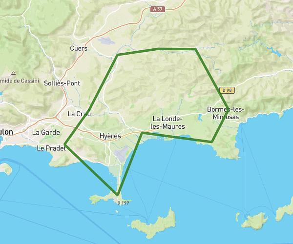
This cycling route covers 9.583mi starting from Solliès-Pont, Var. The ride is a loop trail and returns to the trailhead. This route is rated as easy, plan for about 58m to complete it. The route has an elevation gain of 292ft and an elevation loss of 285ft.
Velo2
Route details
511 kcal
Calories burned
1.1%
Avg grade
Loop trail
Route type
200ft
Min altitude
479ft
Max altitude
Route profile
292ft
Elevation gain
285ft
Elevation loss
200ft
Min altitude
479ft
Max altitude
How to get there
Trailhead: 373 Chemin Des Ruscats, 83210 Solliès-Pont, France
GPS coordinates of the trailhead: 43.192408, 6.075965 / 43°11'32'' N, 6°4'33'' E