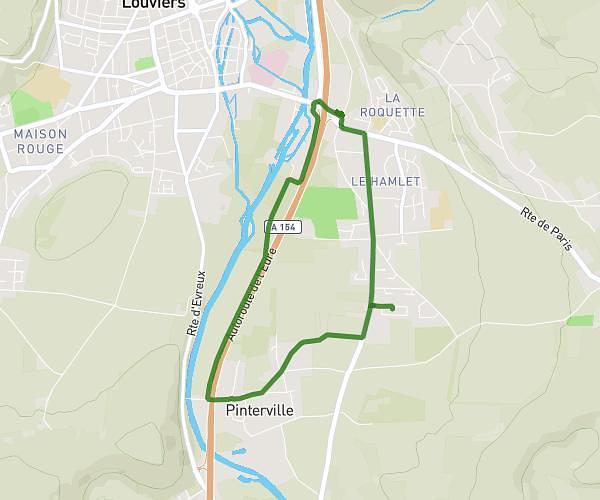
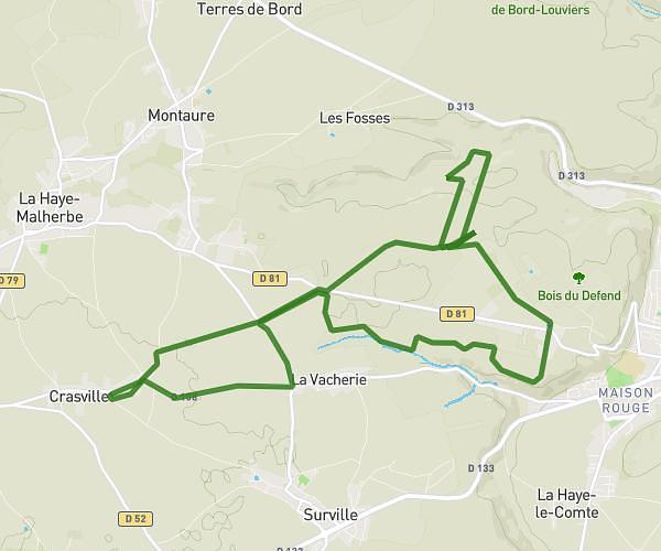
This cycling route covers 13.21mi starting from Louviers, Eure. The ride is a loop trail and returns to the trailhead. This route is rated as hard, plan for about 1h20m to complete it. The route has an elevation gain of 840ft and an elevation loss of 833ft.
VTT FORET DE BORD
Route details
711 kcal
Calories burned
2.4%
Avg grade
Loop trail
Route type
62ft
Min altitude
502ft
Max altitude
Route profile
840ft
Elevation gain
833ft
Elevation loss
62ft
Min altitude
502ft
Max altitude
How to get there
Trailhead: 39 Rue Des Hayes Melines, 27400 Louviers, France
GPS coordinates of the trailhead: 49.205845, 1.164723 / 49°12'21'' N, 1°9'53'' E