MapPlanner
10.796mi
Distance
2h20m
Duration
4.63mph
Speed
+243ft
Elevation gain
-240ft
Elevation loss
Easy
Level

Famille

Route details

1232 kcal
Calories burned
0.8%
Avg grade
Loop trail
Route type
292ft
Min altitude
528ft
Max altitude

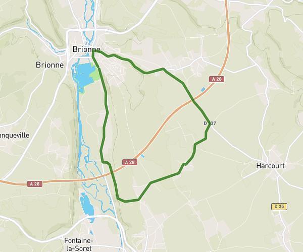
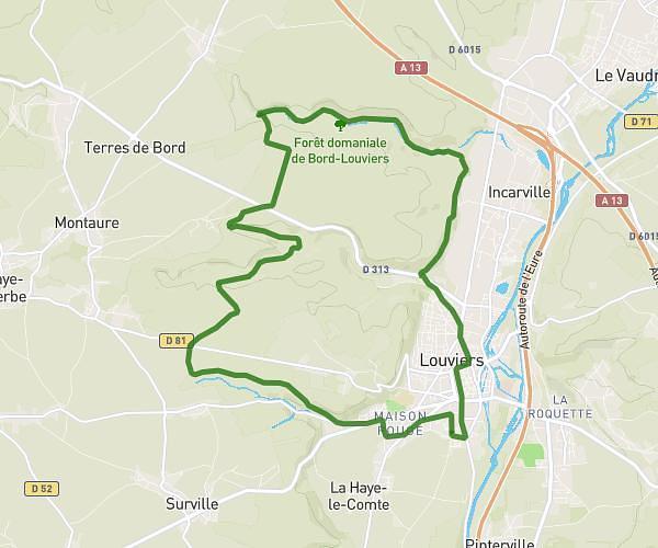
This cycling route covers 10.796mi starting from Crasville, Eure. The ride is a loop trail and returns to the trailhead. This route is rated as easy, plan for about 2h20m to complete it. The route has an elevation gain of 243ft and an elevation loss of 240ft.

Route profile

243ft
Elevation gain
240ft
Elevation loss
292ft
Min altitude
528ft
Max altitude

How to get there

Trailhead: 19 Route De Surville, 27400 Crasville, France

GPS coordinates of the trailhead: 49.20758, 1.07705 / 49°12'27'' N, 1°4'37'' E

Caution: May Cross Private Property

This route may pass through or near private property. Always respect posted signs, obtain permission where required, and follow local trespassing laws. MapPlanner does not guarantee public access along any route.

Safety Notice

Trail and road conditions may change without notice due to weather, construction, or other factors. Always verify current conditions before heading out. You are responsible for your own safety — follow local signage, obey traffic laws, and use your best judgment on the trail.