MapPlanner
7.405mi
Distance
45m
Duration
9.87mph
Speed
+499ft
Elevation gain
-489ft
Elevation loss
Moderate
Level

Triathlon Brionne

Route details

400 kcal
Calories burned
2.5%
Avg grade
Loop trail
Route type
180ft
Min altitude
459ft
Max altitude

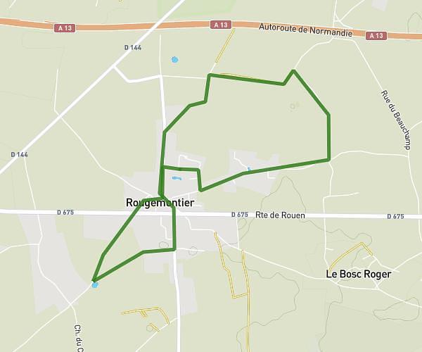
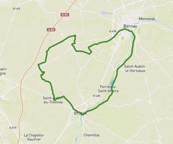
This cycling route covers 7.405mi starting from Brionne, Eure. The ride is a loop trail and returns to the trailhead. This route is rated as moderate, plan for about 45m to complete it. The route has an elevation gain of 499ft and an elevation loss of 489ft.

Route profile

499ft
Elevation gain
489ft
Elevation loss
180ft
Min altitude
459ft
Max altitude

How to get there

Trailhead: 17 Avenue De La République, 27800 Brionne, France

GPS coordinates of the trailhead: 49.190681, 0.722417 / 49°11'26'' N, 0°43'20'' E

Caution: May Cross Private Property

This route may pass through or near private property. Always respect posted signs, obtain permission where required, and follow local trespassing laws. MapPlanner does not guarantee public access along any route.

Safety Notice

Trail and road conditions may change without notice due to weather, construction, or other factors. Always verify current conditions before heading out. You are responsible for your own safety — follow local signage, obey traffic laws, and use your best judgment on the trail.