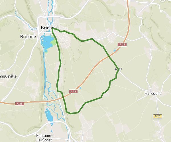
This cycling route covers 22.406mi starting from Caorches-Saint-Nicolas, Eure. The ride is a loop trail and returns to the trailhead. This route is rated as moderate, plan for about 2h15m to complete it. The route has an elevation gain of 249ft and an elevation loss of 266ft.
20250713 - Autour de Caorches Saint Nicolas
Route details
1185 kcal
Calories burned
0.4%
Avg grade
Loop trail
Route type
367ft
Min altitude
617ft
Max altitude
Route profile
249ft
Elevation gain
266ft
Elevation loss
367ft
Min altitude
617ft
Max altitude
How to get there
Trailhead: 87 Chemin De La Capelle, 27300 Caorches-Saint-Nicolas, France
GPS coordinates of the trailhead: 49.07164, 0.54322 / 49°4'17'' N, 0°32'35'' E