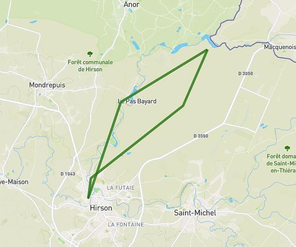
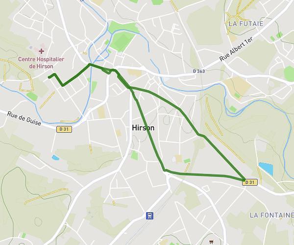
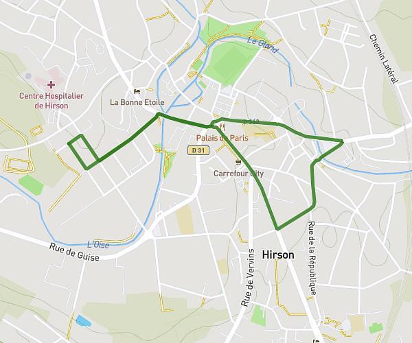
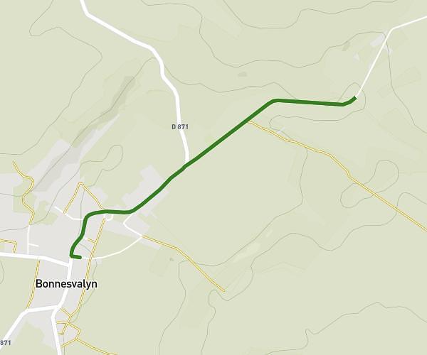
This running route covers 3.673mi starting from Clairfontaine, Aisne. The run is a loop trail and returns to the trailhead. This run is rated as easy, expect about 39m to complete it. The route has an elevation gain of 16ft and an elevation loss of 95ft.
Food truck chimay Clairfontaine
Route details
5.65mph
Speed
446 kcal
Calories burned
Loop trail
Route type
656ft
Min altitude
751ft
Max altitude
Route profile
16ft
Elevation gain
95ft
Elevation loss
656ft
Min altitude
751ft
Max altitude
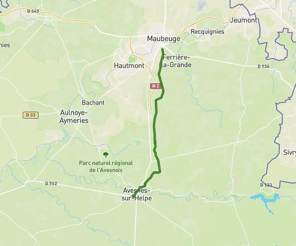
How to get there
Trailhead: 7 Rue Du Chemin Noir, 02260 Clairfontaine, France
GPS coordinates of the trailhead: 49.96725, 3.96276 / 49°58'2'' N, 3°57'45'' E