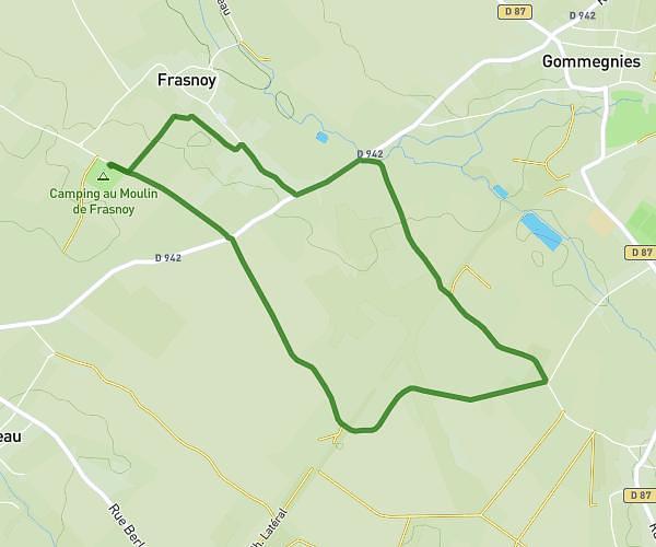
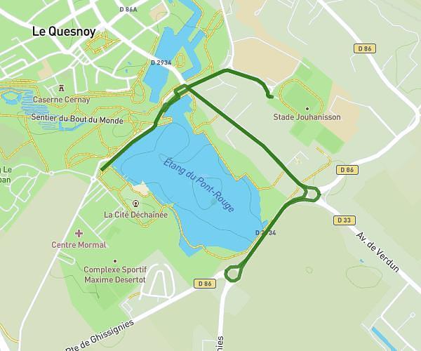
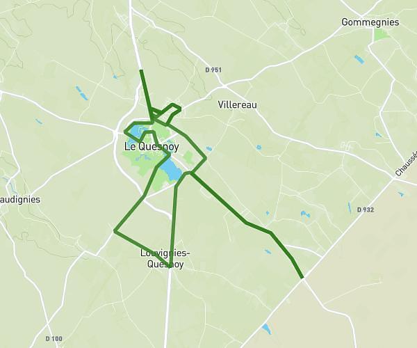
This running route covers 12.445mi starting from Avesnelles, Nord. The run does not return to the trailhead and ends near 50 Rue De Louvroil, 59600 Maubeuge, France. This run is rated as strenuous, expect about 2h10s to complete it. The route has an elevation gain of 761ft and an elevation loss of 863ft.
ASH--Maubeuge
Route details
6.21mph
Speed
1374 kcal
Calories burned
Point to point
Route type
489ft
Min altitude
682ft
Max altitude
Route profile
761ft
Elevation gain
863ft
Elevation loss
489ft
Min altitude
682ft
Max altitude
How to get there
Trailhead: 27 Route De Landrecies, 59440 Avesnelles, France
GPS coordinates of the trailhead: 50.119262, 3.927552 / 50°7'9'' N, 3°55'39'' E