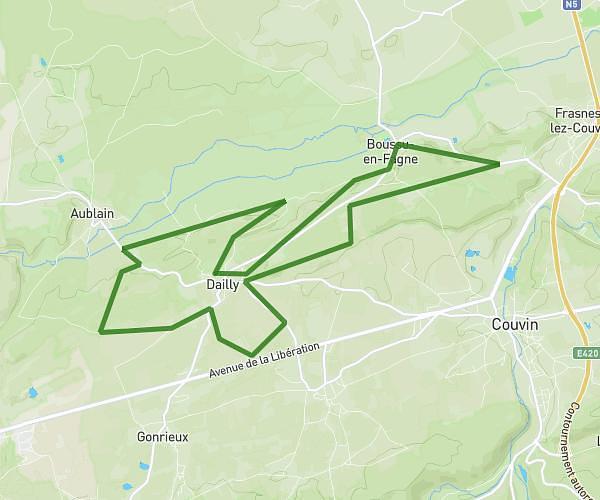
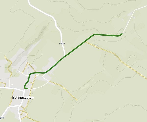
This running route covers 11.264mi starting from Hirson, Aisne. The run is a loop trail and returns to the trailhead. This run is rated as strenuous, expect about 1h48m to complete it. The route has an elevation gain of 971ft and an elevation loss of 971ft.
18 en foret
Route details
6.26mph
Speed
1235 kcal
Calories burned
Loop trail
Route type
541ft
Min altitude
863ft
Max altitude
Route profile
971ft
Elevation gain
971ft
Elevation loss
541ft
Min altitude
863ft
Max altitude
How to get there
Trailhead: 6 Rue Camille Desmoulins, 02500 Hirson, France
GPS coordinates of the trailhead: 49.92386, 4.07702 / 49°55'25'' N, 4°4'37'' E