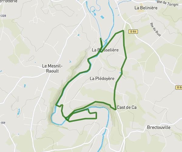
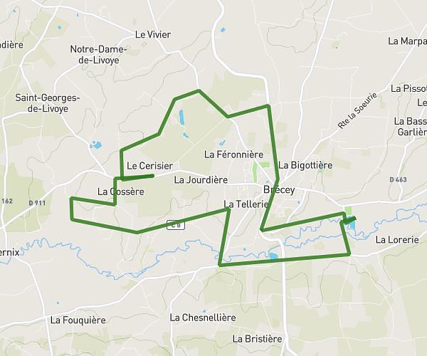
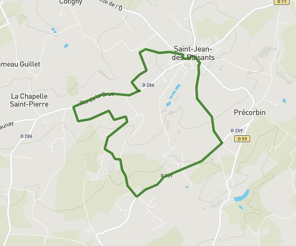
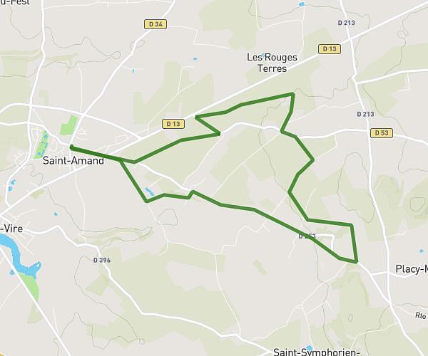
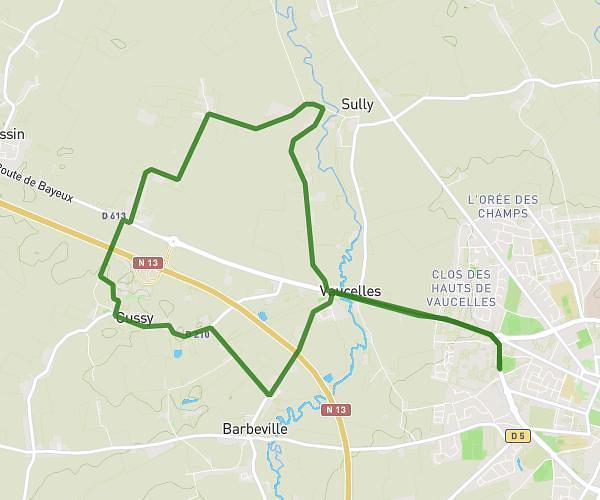
This running route covers 13.683mi starting from Vire Normandie, Calvados. The run does not return to the trailhead and ends near Chemin De La Chapellière, 14500 Vire Normandie. This run is rated as strenuous, expect about 2h30m to complete it. The route has an elevation gain of 935ft and an elevation loss of 948ft.
Challenge
Route details
6.21mph
Speed
1715 kcal
Calories burned
Point to point
Route type
341ft
Min altitude
640ft
Max altitude
Route profile
935ft
Elevation gain
948ft
Elevation loss
341ft
Min altitude
640ft
Max altitude
How to get there
Trailhead: Rue Des Écoliers, 14500 Vire Normandie
GPS coordinates of the trailhead: 48.87317, -0.91299 / 48°52'23'' N, 0°54'46'' W