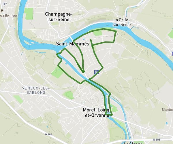
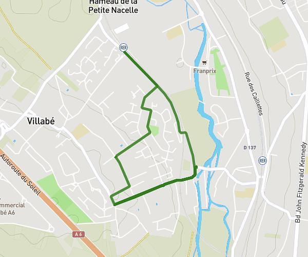
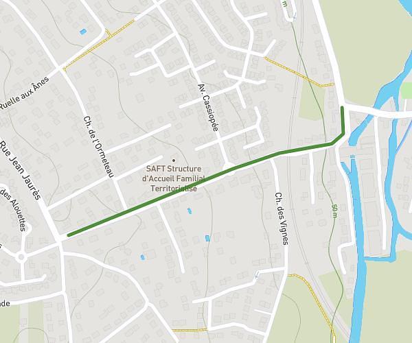
This running route covers 9.683mi starting from Boissise-le-Roi, Seine-et-Marne. The run is a loop trail and returns to the trailhead. This run is rated as hard, expect about 1h44m to complete it. The route has an elevation gain of 85ft and an elevation loss of 23ft.
noel 2025
Route details
5.59mph
Speed
1189 kcal
Calories burned
Loop trail
Route type
135ft
Min altitude
220ft
Max altitude
Route profile
85ft
Elevation gain
23ft
Elevation loss
135ft
Min altitude
220ft
Max altitude
How to get there
Trailhead: 12 Impasse De Thumery, 77310 Boissise-le-Roi, France
GPS coordinates of the trailhead: 48.524619, 2.577694 / 48°31'28'' N, 2°34'39'' E