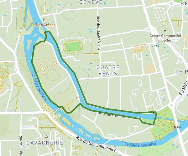
This running route covers 6.331mi starting from Saint-Gelais, Deux-Sèvres. The run is a loop trail and returns to the trailhead. This run is rated as moderate, expect about 1h8m to complete it. The route has an elevation gain of 446ft and an elevation loss of 446ft.
LAGELASIENNE
Route details
5.59mph
Speed
777 kcal
Calories burned
Loop trail
Route type
102ft
Min altitude
197ft
Max altitude
Route profile
446ft
Elevation gain
446ft
Elevation loss
102ft
Min altitude
197ft
Max altitude
How to get there
Trailhead: 200 Rue Du Prieuré, 79410 Saint-Gelais, France
GPS coordinates of the trailhead: 46.381382, -0.391881 / 46°22'52'' N, 0°23'30'' W