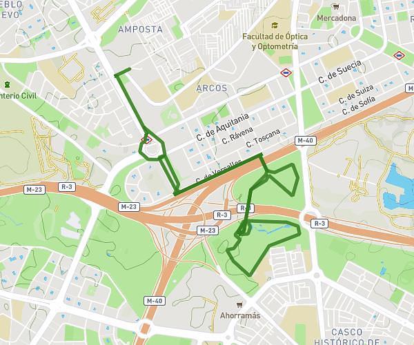
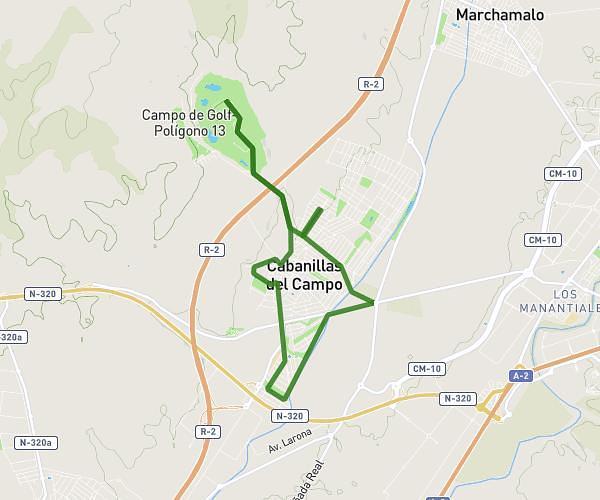
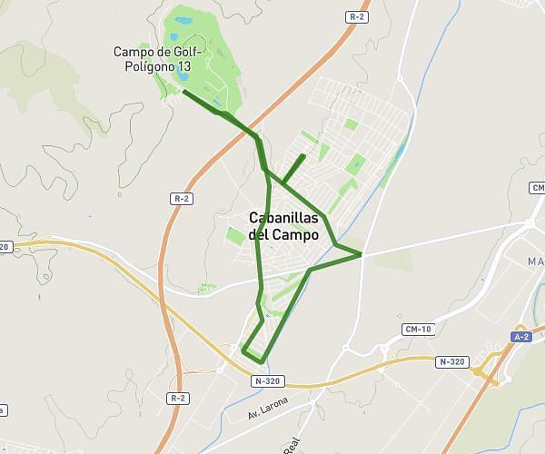
This running route covers 5.518mi starting from Villalbilla, Madrid. The run is a loop trail and returns to the trailhead. This run is rated as moderate, expect about 59m to complete it. The route has an elevation gain of 282ft and an elevation loss of 282ft.
aaa
Route details
5.61mph
Speed
675 kcal
Calories burned
Loop trail
Route type
2093ft
Min altitude
2231ft
Max altitude
Route profile
282ft
Elevation gain
282ft
Elevation loss
2093ft
Min altitude
2231ft
Max altitude
How to get there
Trailhead: Camino De La Isabela, 28810 Villalbilla, Madrid, Spain
GPS coordinates of the trailhead: 40.443973, -3.365195 / 40°26'38'' N, 3°21'54'' W