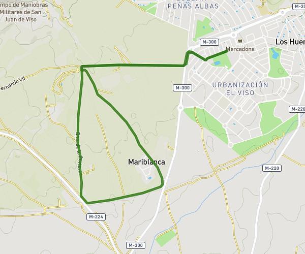
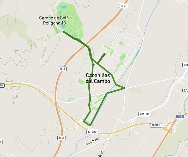
This running route covers 7.811mi starting from Cabanillas del Campo, Guadalajara. The run is a loop trail and returns to the trailhead. This run is rated as hard, expect about 1h16m to complete it. The route has an elevation gain of 545ft and an elevation loss of 541ft.
Reto 2
Route details
6.16mph
Speed
869 kcal
Calories burned
Loop trail
Route type
2159ft
Min altitude
2470ft
Max altitude
Route profile
545ft
Elevation gain
541ft
Elevation loss
2159ft
Min altitude
2470ft
Max altitude
How to get there
Trailhead: Avenida De Los Almendros 247, 19171 Cabanillas del Campo, Guadalajara, Spain
GPS coordinates of the trailhead: 40.64439, -3.230922 / 40°38'39'' N, 3°13'51'' W