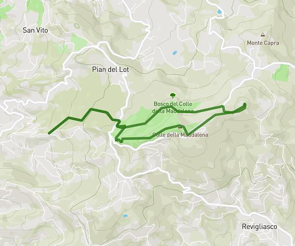
This hiking trail covers 11.59mi starting from Leini, Turin. The hike does not return to the trailhead and ends near Via Papa Giovanni Xxiii, 10040 Leini. This hike is rated as easy, plan for about 1h30m to complete it. The route has an elevation gain of 308ft and an elevation loss of 302ft.
leini 18km
Route details
7.73mph
Speed
635 kcal
Calories burned
1.0%
Avg grade
Point to point
Route type
791ft
Min altitude
961ft
Max altitude
Route profile
308ft
Elevation gain
302ft
Elevation loss
791ft
Min altitude
961ft
Max altitude
How to get there
Trailhead: Via Cervi Fratelli, 10040 Leini
GPS coordinates of the trailhead: 45.18307, 7.70631 / 45°10'59'' N, 7°42'22'' E