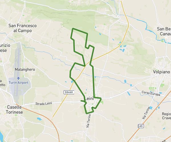
This hiking trail covers 4.805mi starting from Torino, Turin. The hike is a loop trail and returns to the trailhead. This hike is rated as moderate, plan for about 1h45m to complete it. The route has an elevation gain of 1270ft and an elevation loss of 1270ft.
Colle de la Maddalena
Route details
2.75mph
Speed
796 kcal
Calories burned
10.0%
Avg grade
Loop trail
Route type
1398ft
Min altitude
2356ft
Max altitude
Steep climb
Route profile
1270ft
Elevation gain
1270ft
Elevation loss
1398ft
Min altitude
2356ft
Max altitude
How to get there
Trailhead: Strada Della Creusa 84, 10133 Torino Turin, Italy
GPS coordinates of the trailhead: 45.03035, 7.698496 / 45°1'49'' N, 7°41'54'' E