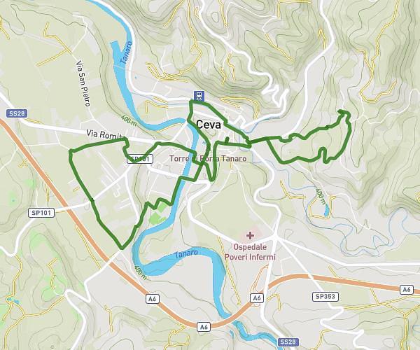
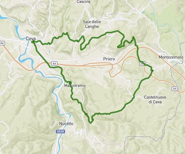
This cycling route covers 8.078mi starting from Ceva, Cuneo. The ride is a loop trail and returns to the trailhead. This route is rated as hard, plan for about 49m to complete it. The route has an elevation gain of 1519ft and an elevation loss of 1519ft.
Camminata settembrina
Route details
449 kcal
Calories burned
7.1%
Avg grade
Loop trail
Route type
1230ft
Min altitude
2034ft
Max altitude
Steep climb
Route profile
1519ft
Elevation gain
1519ft
Elevation loss
1230ft
Min altitude
2034ft
Max altitude
How to get there
Trailhead: Piazza Vittorio Emanuele Ii 8, 12073 Ceva Cuneo, Italy
GPS coordinates of the trailhead: 44.386006, 8.035346 / 44°23'9'' N, 8°2'7'' E