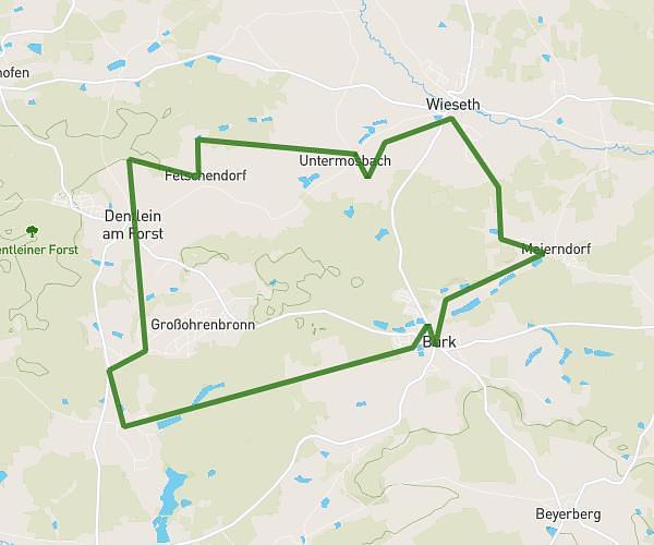
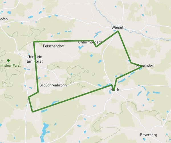
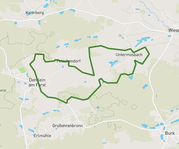
This running route covers 4.151mi starting from Kreßberg, Baden-Württemberg. The run is a loop trail and returns to the trailhead. This run is rated as easy, expect about 45m5s to complete it. The route has an elevation gain of 220ft and an elevation loss of 210ft.
Backyard Ultra
Route details
5.52mph
Speed
515 kcal
Calories burned
Loop trail
Route type
1467ft
Min altitude
1526ft
Max altitude
Route profile
220ft
Elevation gain
210ft
Elevation loss
1467ft
Min altitude
1526ft
Max altitude
How to get there
Trailhead: In Den Brühlwiesen 1, 74594 Kreßberg, Germany
GPS coordinates of the trailhead: 49.1315, 10.19012 / 49°7'53'' N, 10°11'24'' E