MapPlanner
2.794mi
Distance
26m
Duration
+154ft
Elevation gain
-161ft
Elevation loss
Easy
Level

Lisses4

Route details

6.45mph
Speed
185 kcal
Calories burned
2.1%
Avg grade
Loop trail
Route type
256ft
Min altitude
289ft
Max altitude

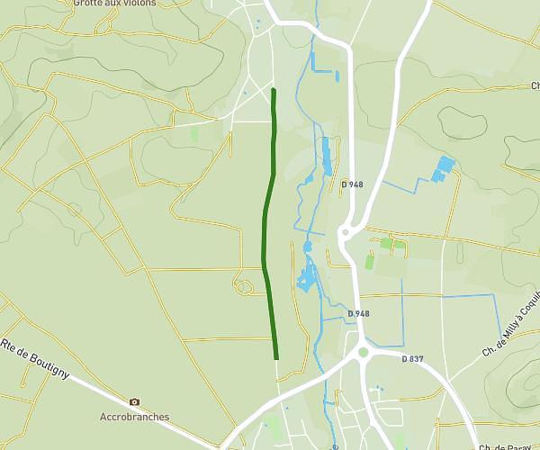
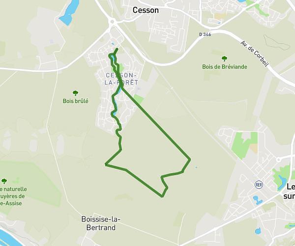
This hiking trail covers 2.794mi starting from Lisses, Essonne. The hike is a loop trail and returns to the trailhead. This hike is rated as easy, plan for about 26m to complete it. The route has an elevation gain of 154ft and an elevation loss of 161ft.

Route profile

154ft
Elevation gain
161ft
Elevation loss
256ft
Min altitude
289ft
Max altitude

How to get there

Trailhead: Avenue Des Parcs, 91090 Lisses, France

GPS coordinates of the trailhead: 48.605689, 2.411735 / 48°36'20'' N, 2°24'42'' E

Caution: May Cross Private Property

This route may pass through or near private property. Always respect posted signs, obtain permission where required, and follow local trespassing laws. MapPlanner does not guarantee public access along any route.

Safety Notice

Trail and road conditions may change without notice due to weather, construction, or other factors. Always verify current conditions before heading out. You are responsible for your own safety — follow local signage, obey traffic laws, and use your best judgment on the trail.