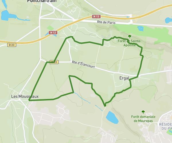
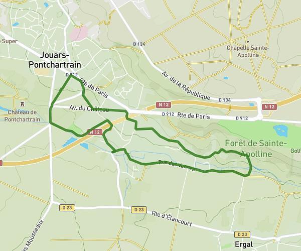
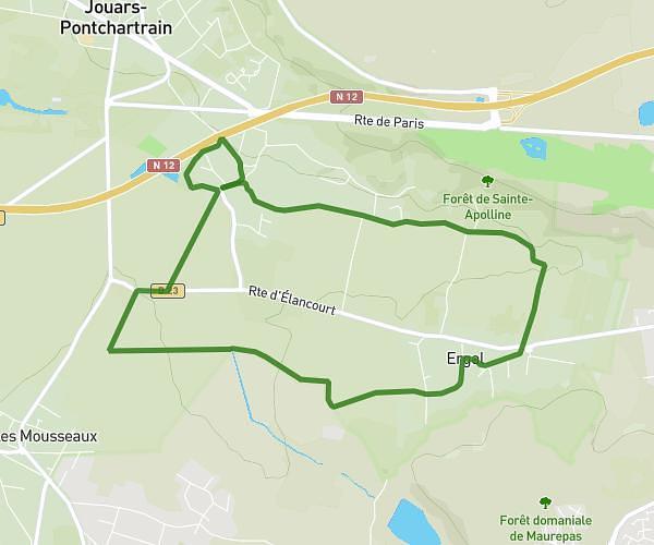
This walking route covers 4.517mi starting from Chatou, Yvelines. The walk is a loop trail and returns to the trailhead. This walk is rated as moderate, plan for about 1h37m to complete it. The route has an elevation gain of 180ft and an elevation loss of 174ft.
Parc des ibis
Route details
21:27/mi
Pace
396 kcal
Calories burned
Loop trail
Route type
105ft
Min altitude
151ft
Max altitude
Route profile
180ft
Elevation gain
174ft
Elevation loss
105ft
Min altitude
151ft
Max altitude
How to get there
Trailhead: 19bis Avenue Victor Hugo, 78400 Chatou, France
GPS coordinates of the trailhead: 48.88711, 2.14685 / 48°53'13'' N, 2°8'48'' E