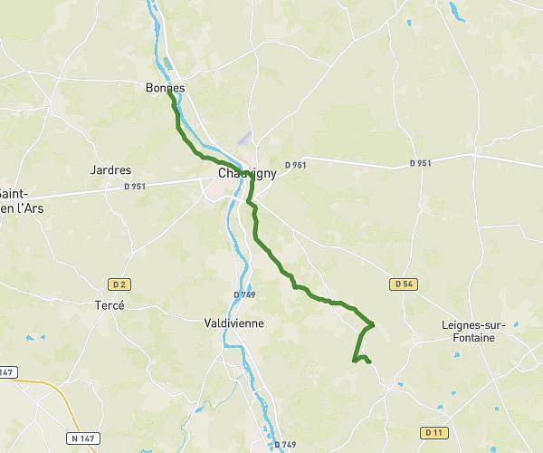
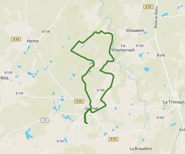
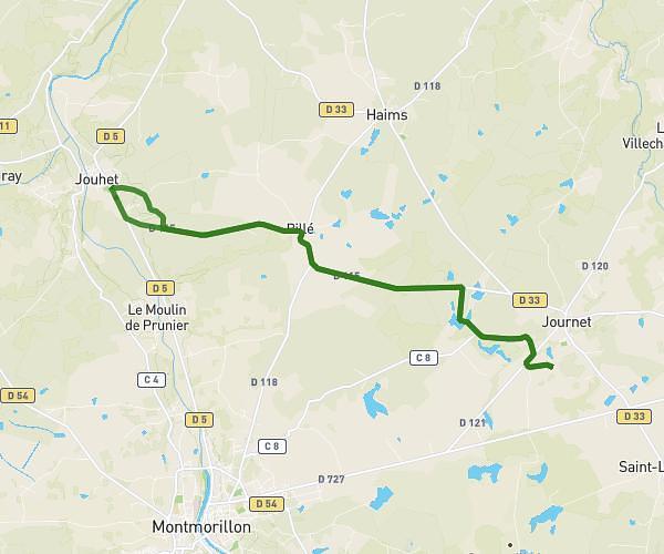
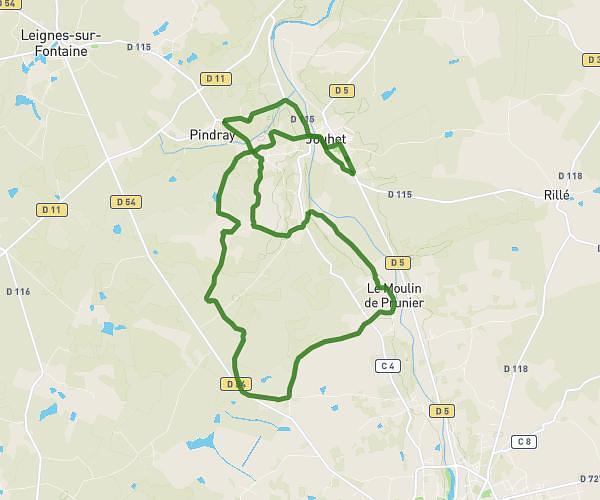
This cycling route covers 12.327mi starting from Jouhet, Vienne. The ride is a loop trail and returns to the trailhead. This route is rated as easy, plan for about 1h14m to complete it. The route has an elevation gain of 207ft and an elevation loss of 210ft.
David 1
Route details
650 kcal
Calories burned
0.6%
Avg grade
Loop trail
Route type
285ft
Min altitude
423ft
Max altitude
Route profile
207ft
Elevation gain
210ft
Elevation loss
285ft
Min altitude
423ft
Max altitude
How to get there
Trailhead: 3 Lieu Dit La Moriniere, 86500 Jouhet, France
GPS coordinates of the trailhead: 46.48689, 0.84488 / 46°29'12'' N, 0°50'41'' E