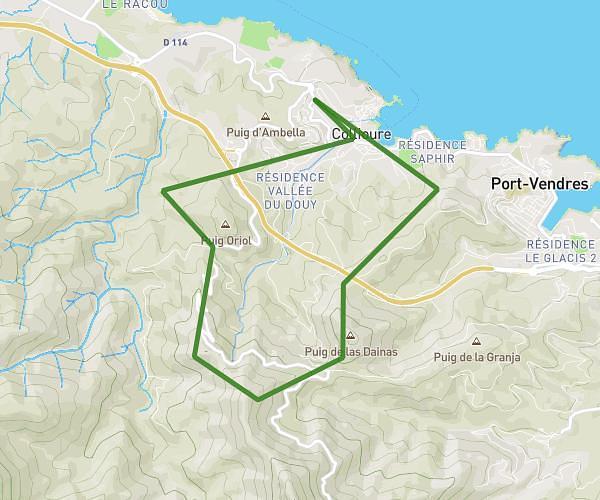
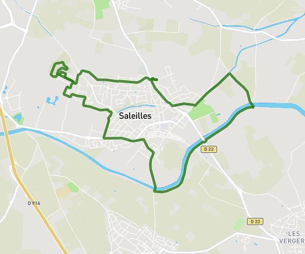
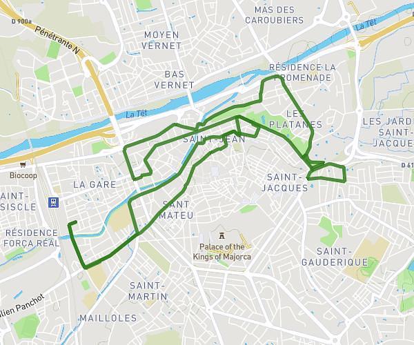
This running route covers 8.328mi starting from Perpignan, Pyrénées-Orientales. The run does not return to the trailhead and ends near 11 Rond-Point De L'esparrou, 66140 Canet-en-Roussillon, France. This run is rated as hard, expect about 1h30m to complete it. The route has an elevation gain of 207ft and an elevation loss of 331ft.
Canet mas guéridon
Route details
5.56mph
Speed
1029 kcal
Calories burned
Point to point
Route type
0ft
Min altitude
151ft
Max altitude
Route profile
207ft
Elevation gain
331ft
Elevation loss
0ft
Min altitude
151ft
Max altitude
How to get there
Trailhead: 3 Rue Henry De Montherlant, 66100 Perpignan, France
GPS coordinates of the trailhead: 42.6884, 2.91572 / 42°41'18'' N, 2°54'56'' E