MapPlanner
7.893mi
Distance
4h10m
Duration
28:29/mi
Pace
Easy
Level

Balade Bords de l'Oise

Route details

28:29/mi
Pace
1021 kcal
Calories burned
Loop trail
Route type
69ft
Min altitude
82ft
Max altitude

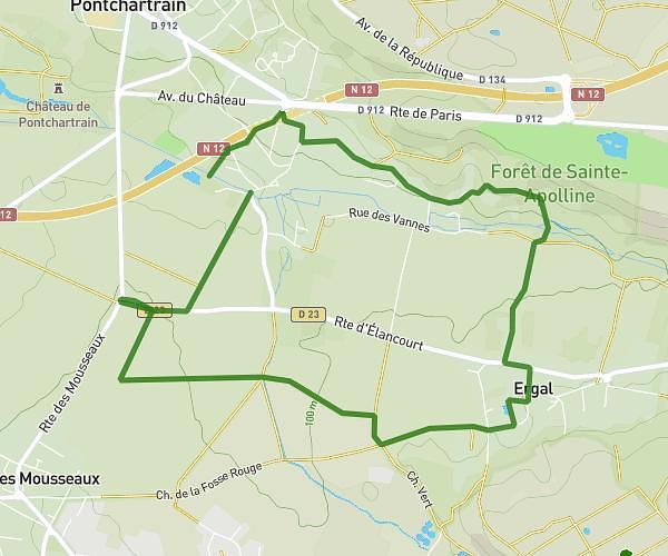
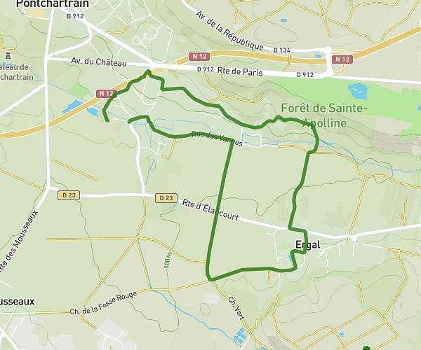
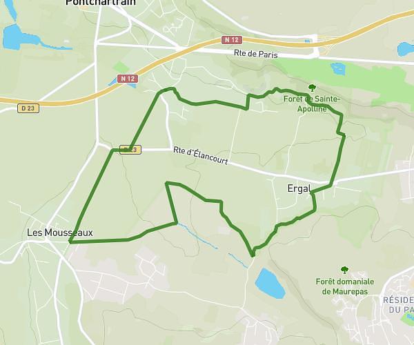
This walking route covers 7.893mi starting from Maurecourt, Yvelines. The walk is a loop trail and returns to the trailhead. This walk is rated as easy, plan for about 4h10m to complete it. The route has an elevation gain of 13ft and an elevation loss of 16ft.

Description of the route by the creator

Departure Maurecourt - Base de loisirs Cergy - Return Maurecourt

(Description automatically translated)

Route profile

13ft
Elevation gain
16ft
Elevation loss
69ft
Min altitude
82ft
Max altitude

How to get there

Trailhead: Quai Boubou Dado, 78780 Maurecourt

GPS coordinates of the trailhead: 48.99462, 2.07073 / 48°59'40'' N, 2°4'14'' E

Caution: May Cross Private Property

This route may pass through or near private property. Always respect posted signs, obtain permission where required, and follow local trespassing laws. MapPlanner does not guarantee public access along any route.

Safety Notice

Trail and road conditions may change without notice due to weather, construction, or other factors. Always verify current conditions before heading out. You are responsible for your own safety — follow local signage, obey traffic laws, and use your best judgment on the trail.