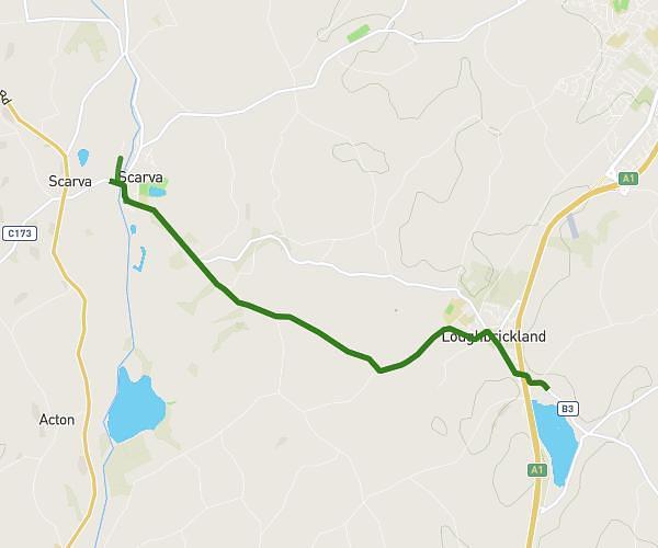
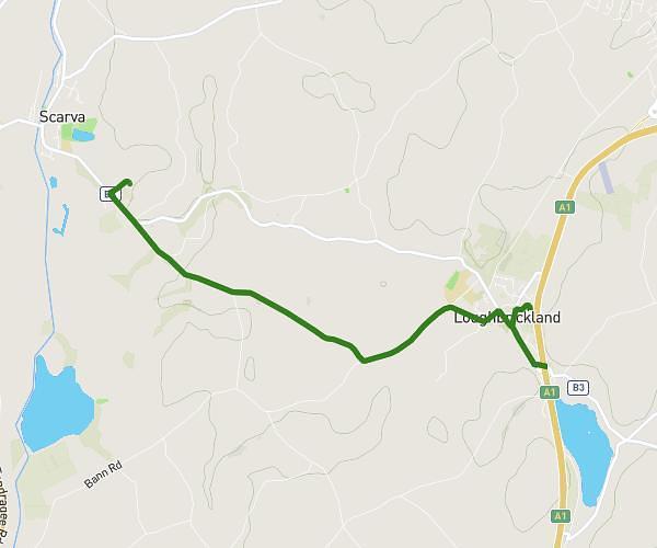
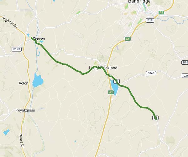
This walking route covers 7.804mi starting from Craigavon, Northern Ireland. The walk does not return to the trailhead and ends near Station Road, BT63 6JY Craigavon. This walk is rated as strenuous, plan for about 2h48m to complete it. The route has an elevation gain of 771ft and an elevation loss of 787ft.
dee reid
Route details
21:30/mi
Pace
686 kcal
Calories burned
Point to point
Route type
66ft
Min altitude
331ft
Max altitude
Route profile
771ft
Elevation gain
787ft
Elevation loss
66ft
Min altitude
331ft
Max altitude
How to get there
Trailhead: Church Lane, BT63 6LT Craigavon
GPS coordinates of the trailhead: 54.33061, -6.36434 / 54°19'50'' N, 6°21'51'' W