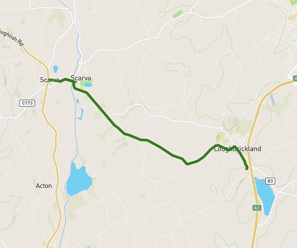
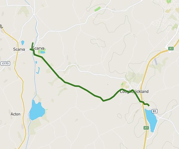
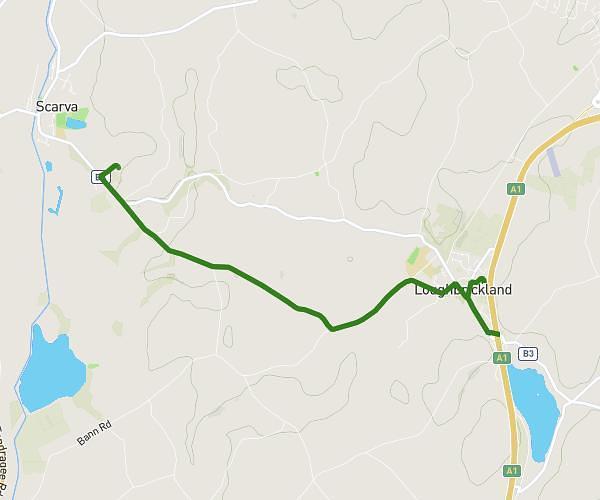
This walking route covers 6.229mi starting from Banbridge, Northern Ireland. The walk does not return to the trailhead and ends near 9 Station Road, Poyntz Pass, Craigavon, BT63 6JY, United Kingdom. This walk is rated as hard, plan for about 2h2m to complete it. The route has an elevation gain of 361ft and an elevation loss of 738ft.
reid
Route details
19:45/mi
Pace
502 kcal
Calories burned
Point to point
Route type
66ft
Min altitude
479ft
Max altitude
Route profile
361ft
Elevation gain
738ft
Elevation loss
66ft
Min altitude
479ft
Max altitude
How to get there
Trailhead: 125 Grovehill Road, Bannside, Banbridge, BT32 5AB, United Kingdom
GPS coordinates of the trailhead: 54.28915, -6.25574 / 54°17'20'' N, 6°15'20'' W