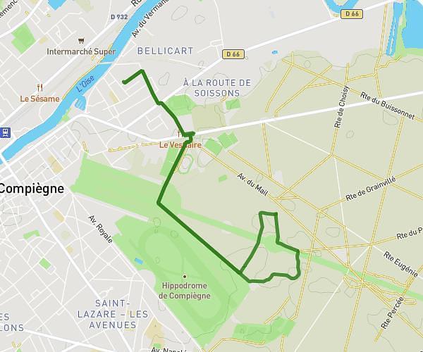
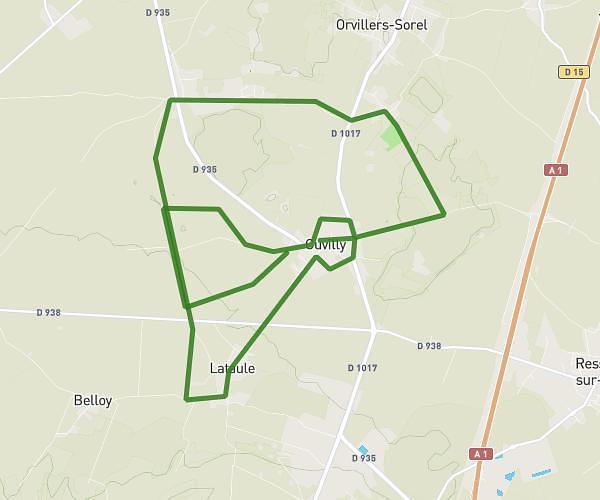
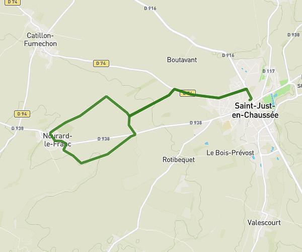
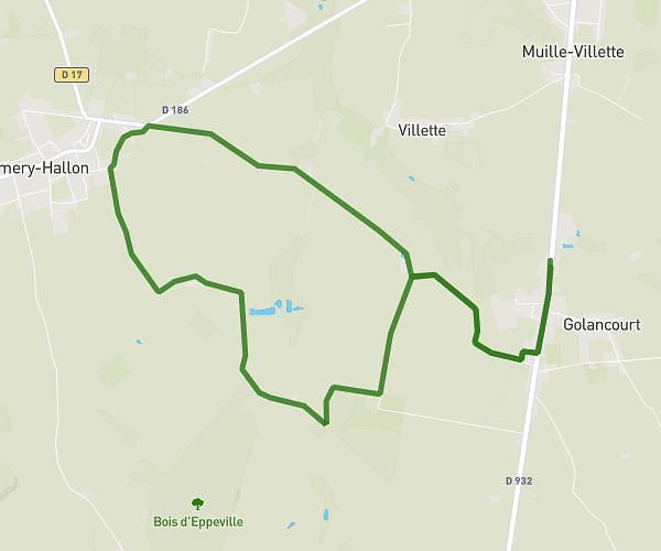
This running route covers 13.461mi starting from Ressons-sur-Matz, Oise. The run is a loop trail and returns to the trailhead. This run is rated as strenuous, expect about 2h24m to complete it. The route has an elevation gain of 643ft and an elevation loss of 643ft.
Ressons Lassigny Ressons
Route details
5.59mph
Speed
1651 kcal
Calories burned
Loop trail
Route type
171ft
Min altitude
371ft
Max altitude
Route profile
643ft
Elevation gain
643ft
Elevation loss
171ft
Min altitude
371ft
Max altitude
How to get there
Trailhead: 335 Rue De La Prairie De Bayencourt, 60490 Ressons-sur-Matz, France
GPS coordinates of the trailhead: 49.539642, 2.753635 / 49°32'22'' N, 2°45'13'' E