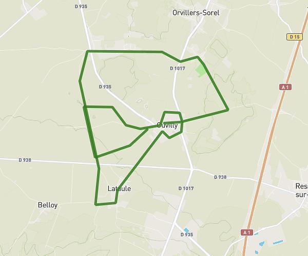
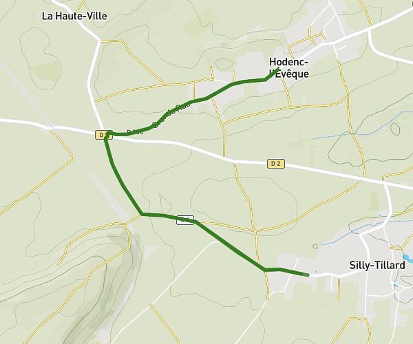
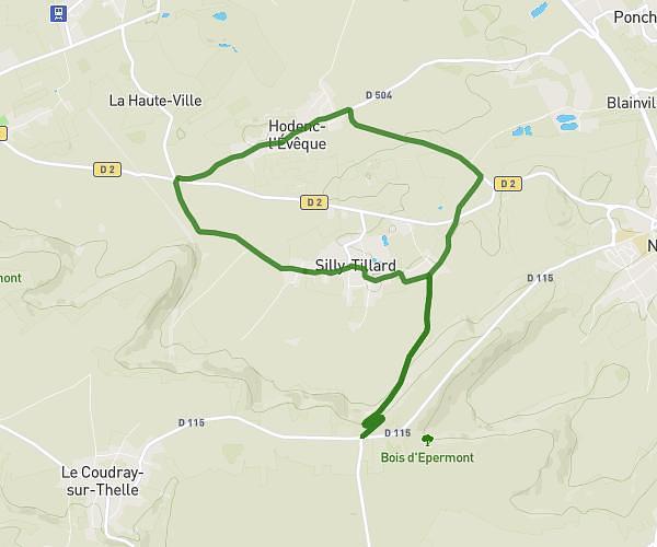
This running route covers 6.956mi starting from Saint-Just-en-Chaussée, Oise. The run does not return to the trailhead and ends near 22 Rue Tailbouis, 60130 Saint-Just-en-Chaussée, France. This run is rated as moderate, expect about 1h15m to complete it. The route has an elevation gain of 167ft and an elevation loss of 151ft.
10 km
Route details
5.57mph
Speed
858 kcal
Calories burned
Point to point
Route type
381ft
Min altitude
535ft
Max altitude
Route profile
167ft
Elevation gain
151ft
Elevation loss
381ft
Min altitude
535ft
Max altitude
How to get there
Trailhead: 25 Rue D'amiens, 60130 Saint-Just-en-Chaussée, France
GPS coordinates of the trailhead: 49.507284, 2.432102 / 49°30'26'' N, 2°25'55'' E