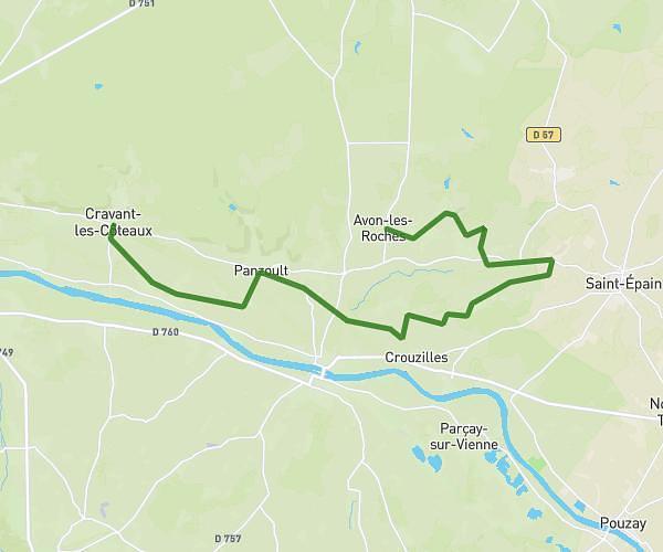
This cycling route covers 13.765mi starting from Cravant-les-Côteaux, Indre-et-Loire. The ride does not return to the trailhead and ends near 13 Rue De Feunet, 37220 Avon-les-Roches, France. This route is rated as moderate, plan for about 1h23m to complete it. The route has an elevation gain of 256ft and an elevation loss of 200ft.
5V - MATIN CRAVANT-AVON
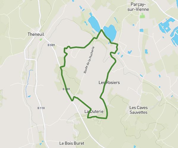
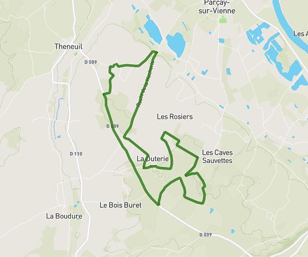
Route details
730 kcal
Calories burned
0.6%
Avg grade
Point to point
Route type
128ft
Min altitude
315ft
Max altitude
Route profile
256ft
Elevation gain
200ft
Elevation loss
128ft
Min altitude
315ft
Max altitude
How to get there
Trailhead: 37 Route De Chinon, 37500 Cravant-les-Côteaux, France
GPS coordinates of the trailhead: 47.157853, 0.346436 / 47°9'28'' N, 0°20'47'' E