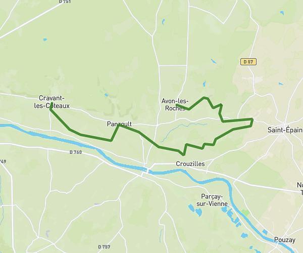
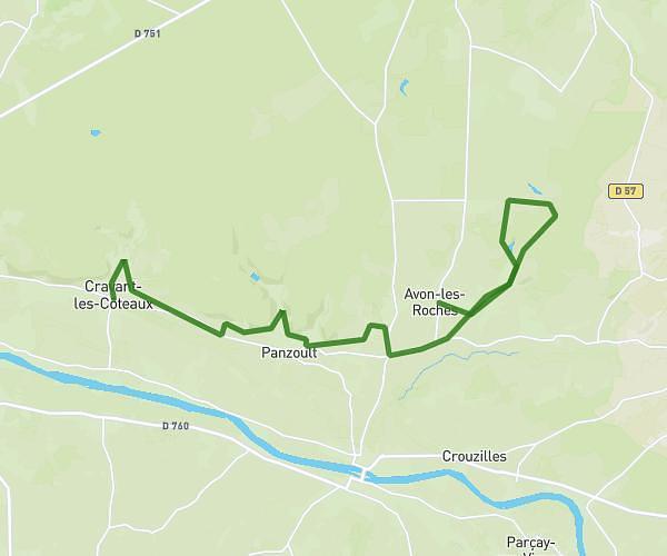
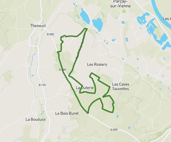
This cycling route covers 4.989mi starting from Parçay-sur-Vienne, Indre-et-Loire. The ride is a loop trail and returns to the trailhead. This route is rated as easy, plan for about 30m6s to complete it. The route has an elevation gain of 371ft and an elevation loss of 374ft.
Puchard 2
Route details
268 kcal
Calories burned
2.8%
Avg grade
Loop trail
Route type
115ft
Min altitude
364ft
Max altitude
Route profile
371ft
Elevation gain
374ft
Elevation loss
115ft
Min altitude
364ft
Max altitude
How to get there
Trailhead: Route De Puchard, 37220 Parçay-sur-Vienne
GPS coordinates of the trailhead: 47.09321, 0.45026 / 47°5'35'' N, 0°27'0'' E