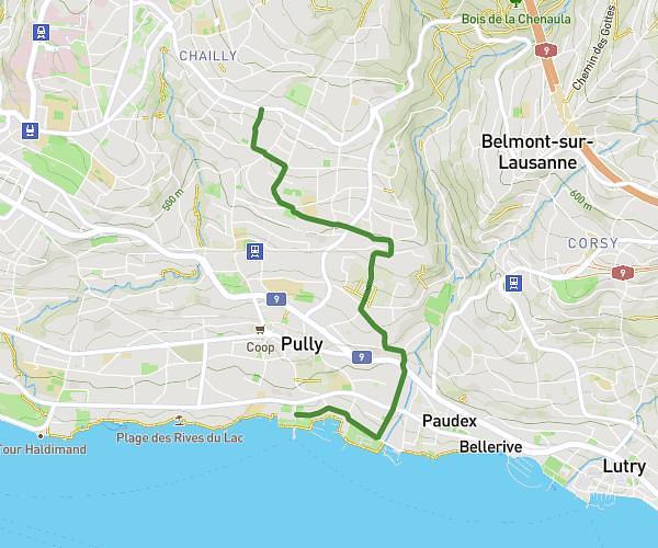
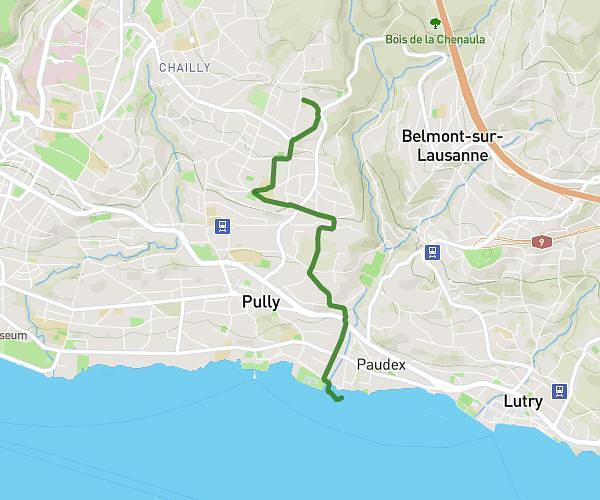
This cycling route covers 2.873mi starting from Lausanne, Vaud. The ride does not return to the trailhead and ends near Route Du Port, 1009 Pully. This route is rated as easy, plan for about 12m to complete it. The route has an elevation gain of 82ft and an elevation loss of 630ft.
Ours- Pully Port
Route details
106 kcal
Calories burned
4.7%
Avg grade
Point to point
Route type
1224ft
Min altitude
1775ft
Max altitude
Route profile
82ft
Elevation gain
630ft
Elevation loss
1224ft
Min altitude
1775ft
Max altitude
How to get there
Trailhead: Avenue De Béthusy, 1005 Lausanne
GPS coordinates of the trailhead: 46.52134, 6.64061 / 46°31'16'' N, 6°38'26'' E