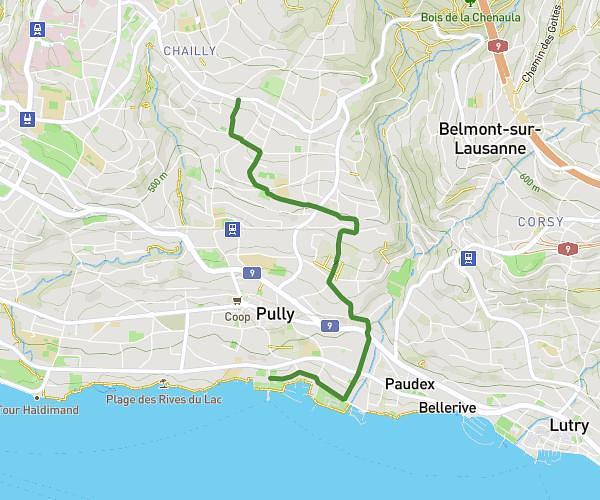
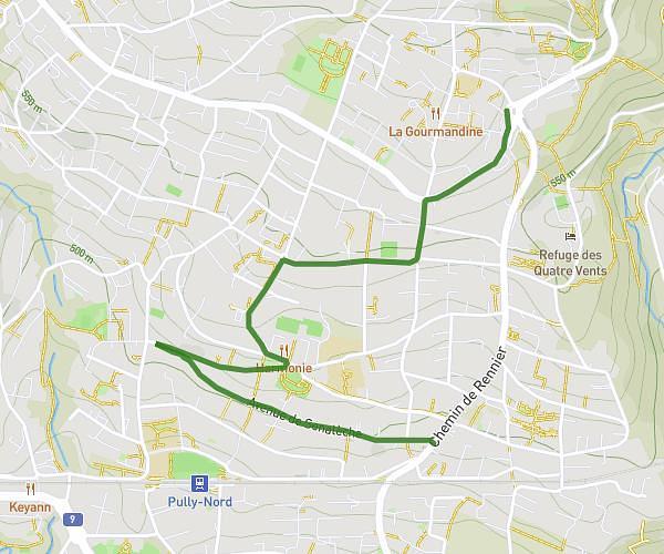
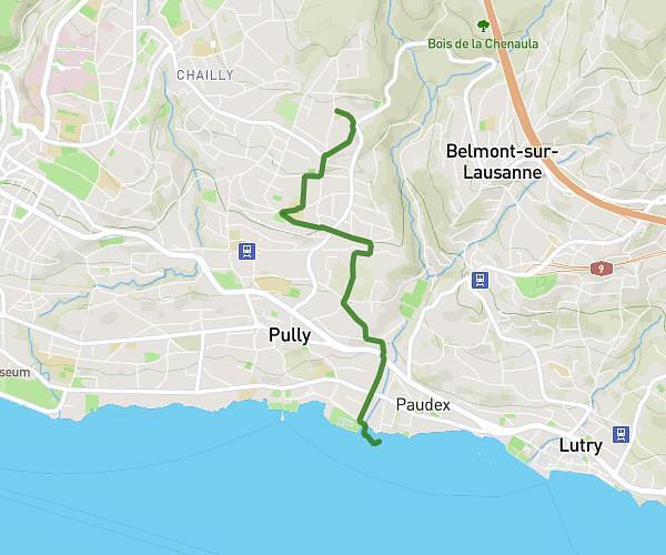
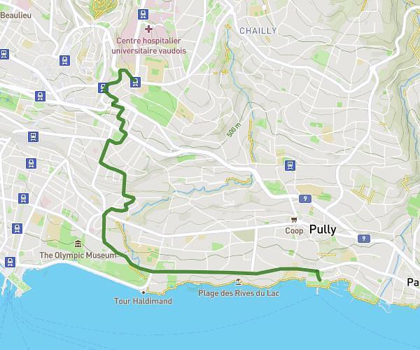
This cycling route covers 18.613mi starting from Le Mont-sur-Lausanne, Vaud. The ride does not return to the trailhead and ends near En Budron B 15, 1052 Le Mont-sur-Lausanne, Switzerland. This route is rated as moderate, plan for about 1h29m to complete it. The route has an elevation gain of 367ft and an elevation loss of 495ft.
test
Route details
790 kcal
Calories burned
0.9%
Avg grade
Point to point
Route type
2011ft
Min altitude
2411ft
Max altitude
Route profile
367ft
Elevation gain
495ft
Elevation loss
2011ft
Min altitude
2411ft
Max altitude
How to get there
Trailhead: Route De Manloud 2, 1052 Le Mont-sur-Lausanne, Switzerland
GPS coordinates of the trailhead: 46.557021, 6.642676 / 46°33'25'' N, 6°38'33'' E