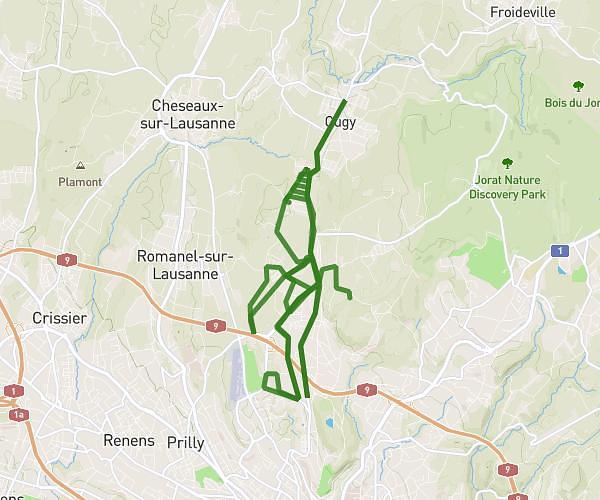
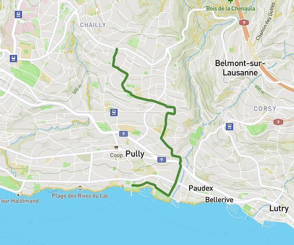
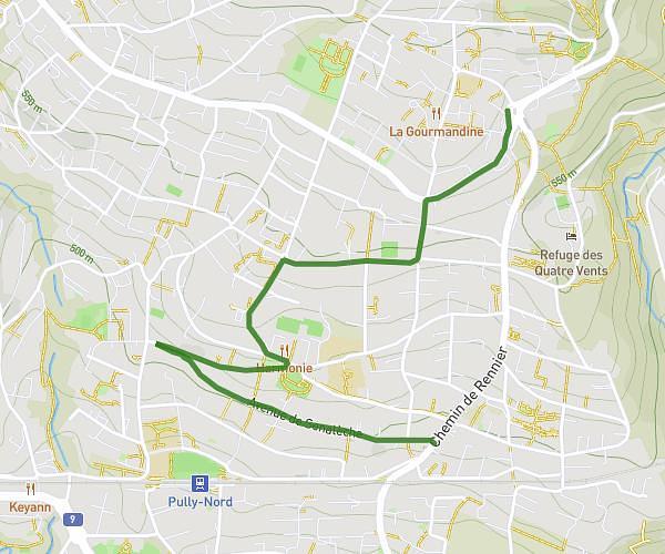
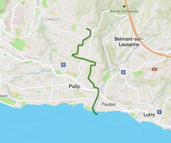
This cycling route covers 3.355mi starting from Lausanne, Vaud. The ride does not return to the trailhead and ends near . This route is rated as moderate, plan for about 14m to complete it. The route has an elevation gain of 66ft and an elevation loss of 1050ft.
Rovéréa - Pierre Ronds
Route details
123 kcal
Calories burned
6.3%
Avg grade
Point to point
Route type
1220ft
Min altitude
2208ft
Max altitude
Steep climb
Route profile
66ft
Elevation gain
1050ft
Elevation loss
1220ft
Min altitude
2208ft
Max altitude
How to get there
Trailhead: Chemin De La Fauvette, 1010 Lausanne
GPS coordinates of the trailhead: 46.5329, 6.66518 / 46°31'58'' N, 6°39'54'' E