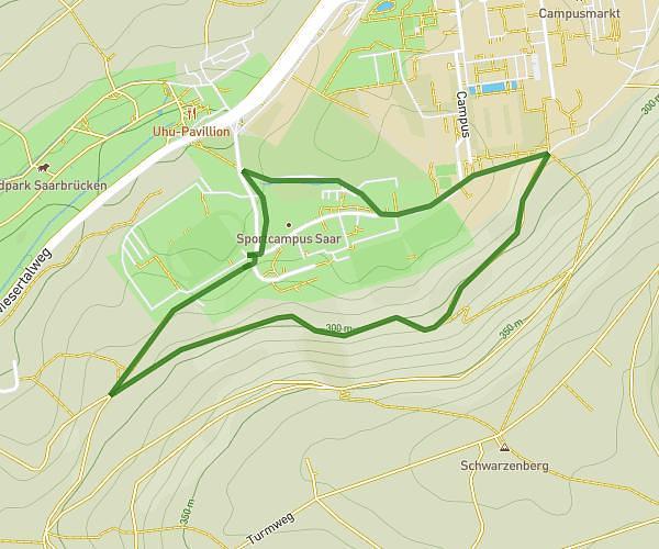
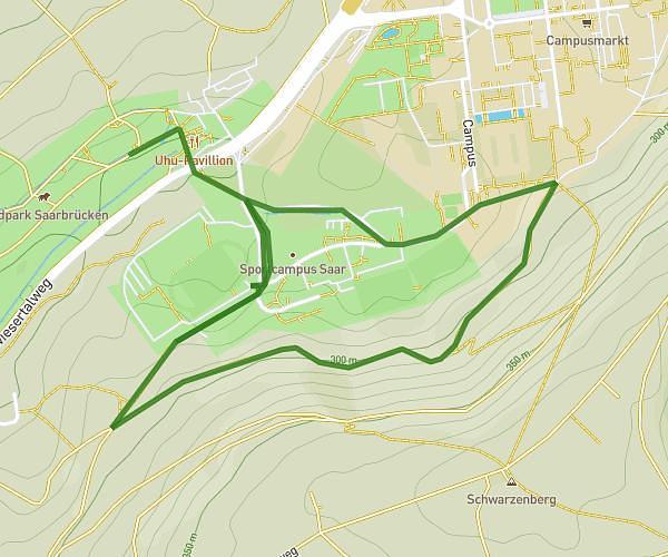
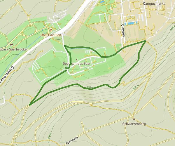
This running route covers 2.753mi starting from Schiffweiler, Saarland. The run does not return to the trailhead and ends near Stummplatz 2, 66538 Neunkirchen, Germany. This run is rated as easy, expect about 33m13s to complete it. The route has an elevation gain of 292ft and an elevation loss of 423ft.
deniz first jogging route
Route details
4.97mph
Speed
380 kcal
Calories burned
Point to point
Route type
787ft
Min altitude
1053ft
Max altitude
Route profile
292ft
Elevation gain
423ft
Elevation loss
787ft
Min altitude
1053ft
Max altitude
How to get there
Trailhead: Kohlwaldstraße 6c, 66578 Schiffweiler, Germany
GPS coordinates of the trailhead: 49.368277, 7.136528 / 49°22'5'' N, 7°8'11'' E