MapPlanner
6.962mi
Distance
1h7m
Duration
9:39/mi
Pace
Moderate
Level

les remparts

Route details

6.21mph
Speed
769 kcal
Calories burned
Loop trail
Route type
49ft
Min altitude
279ft
Max altitude

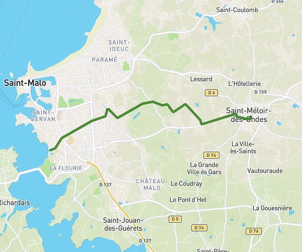
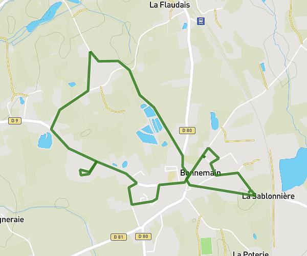
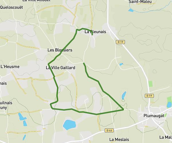
This running route covers 6.962mi starting from Dinan, Côtes-d'Armor. The run is a loop trail and returns to the trailhead. This run is rated as moderate, expect about 1h7m to complete it. The route has an elevation gain of 640ft and an elevation loss of 640ft.

Route profile

640ft
Elevation gain
640ft
Elevation loss
49ft
Min altitude
279ft
Max altitude

How to get there

Trailhead: Rue Des Antons, 22100 Dinan

GPS coordinates of the trailhead: 48.45212, -2.04424 / 48°27'7'' N, 2°2'39'' W

Caution: May Cross Private Property

This route may pass through or near private property. Always respect posted signs, obtain permission where required, and follow local trespassing laws. MapPlanner does not guarantee public access along any route.

Safety Notice

Trail and road conditions may change without notice due to weather, construction, or other factors. Always verify current conditions before heading out. You are responsible for your own safety — follow local signage, obey traffic laws, and use your best judgment on the trail.