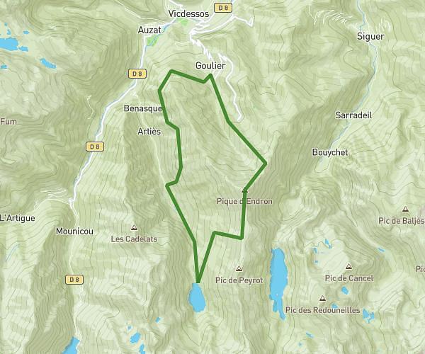
Explore this hiking route of 16.37km starting from Auzat, Ariège. The hike is a loop and returns to the starting point. This hike has no defined difficulty level, plan for about 6h to complete it. The route has a positive elevation gain of 1825m and a negative elevation loss of 1809m.
Cadran solaire
Route details
Route profile
1825m
Elevation +
1809m
Elevation -
1600m
Min altitude
2829m
Max altitude
How to get there
Route starting point: D 8, 09220 Auzat, France
GPS coordinates of the starting point: 42.65716, 1.4465 / 42°39'25'' N, 1°26'47'' E
Calculate the time to reach the starting point from your location or an address