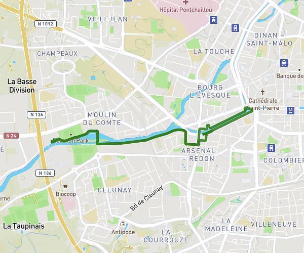
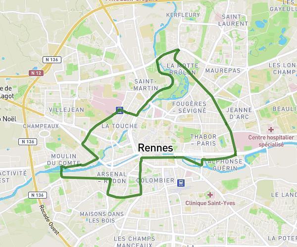
This running route covers 3.296mi starting from Bruz, Ille-et-Vilaine. The run is a loop trail and returns to the trailhead. This run is rated as easy, expect about 23m to complete it. The route has an elevation gain of 128ft and an elevation loss of 125ft.
Running apres des heures d'histoire.
Route details
8.6mph
Speed
263 kcal
Calories burned
Loop trail
Route type
82ft
Min altitude
112ft
Max altitude
Route profile
128ft
Elevation gain
125ft
Elevation loss
82ft
Min altitude
112ft
Max altitude
How to get there
Trailhead: Résidence Léonard De Vinci, 35170 Bruz
GPS coordinates of the trailhead: 48.04387, -1.74074 / 48°2'37'' N, 1°44'26'' W