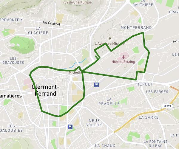
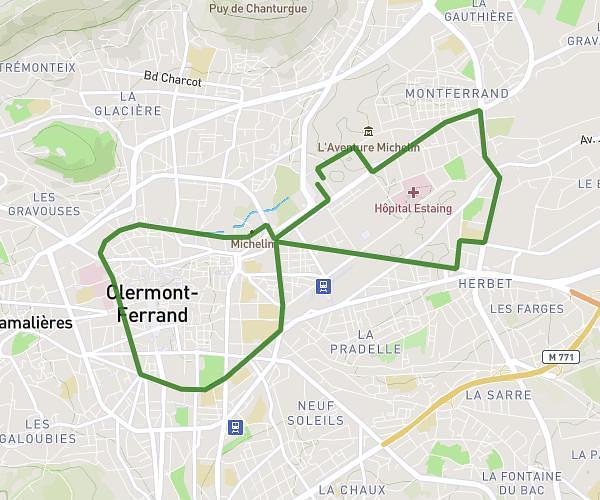
This running route covers 4.426mi starting from Chamalières, Puy-de-Dôme. The run is a loop trail and returns to the trailhead. This run is rated as easy, expect about 47m to complete it. The route has an elevation gain of 561ft and an elevation loss of 558ft.
3/4
Route details
5.65mph
Speed
537 kcal
Calories burned
Loop trail
Route type
1299ft
Min altitude
1522ft
Max altitude
Route profile
561ft
Elevation gain
558ft
Elevation loss
1299ft
Min altitude
1522ft
Max altitude
How to get there
Trailhead: 4 Rue Paul Lapie, 63400 Chamalières, France
GPS coordinates of the trailhead: 45.76949, 3.0678 / 45°46'10'' N, 3°4'4'' E