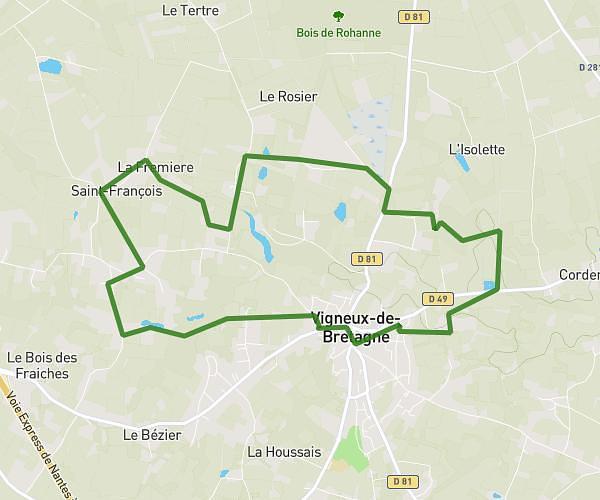
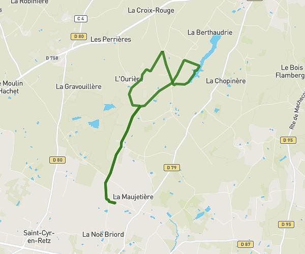
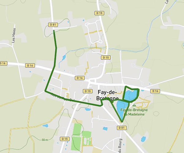
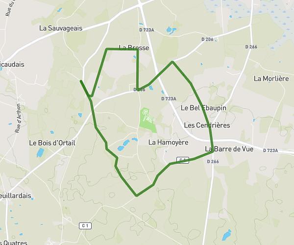
This running route covers 9.264mi starting from Saint-Père-en-Retz, Loire-Atlantique. The run does not return to the trailhead and ends near 34 Rue De La Coralie, 44560 Paimbœuf, France. This run is rated as hard, expect about 1h29m to complete it. The route has an elevation gain of 335ft and an elevation loss of 397ft.
essai 2/2
Route details
6.24mph
Speed
1018 kcal
Calories burned
Point to point
Route type
3ft
Min altitude
167ft
Max altitude
Route profile
335ft
Elevation gain
397ft
Elevation loss
3ft
Min altitude
167ft
Max altitude
How to get there
Trailhead: 9 Les 4 Chemins, 44320 Saint-Père-en-Retz, France
GPS coordinates of the trailhead: 47.23953, -2.0231 / 47°14'22'' N, 2°1'23'' W