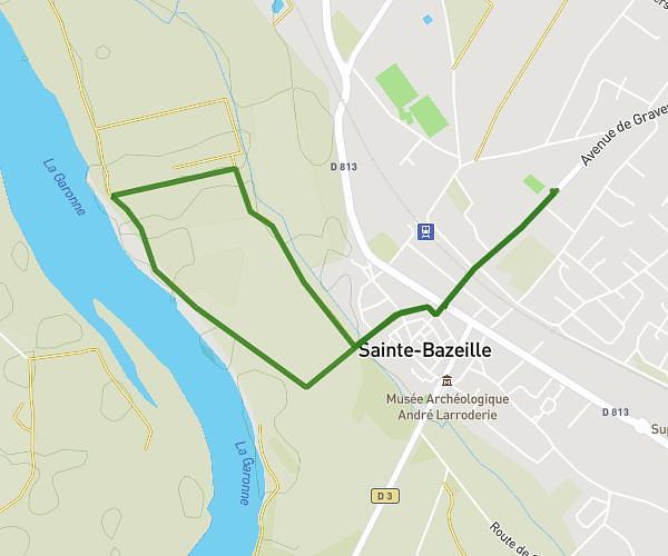
This walking route covers 4.06mi starting from Marmande, Lot-et-Garonne. The walk is a loop trail and returns to the trailhead. This walk is rated as moderate, plan for about 1h20m to complete it. The route has an elevation gain of 177ft and an elevation loss of 177ft.
Garrigues aérodrome
Route details
19:42/mi
Pace
327 kcal
Calories burned
Loop trail
Route type
95ft
Min altitude
121ft
Max altitude
Route profile
177ft
Elevation gain
177ft
Elevation loss
95ft
Min altitude
121ft
Max altitude
How to get there
Trailhead: 81 Route De Leyris, 47200 Marmande, France
GPS coordinates of the trailhead: 44.48884, 0.21009 / 44°29'19'' N, 0°12'36'' E