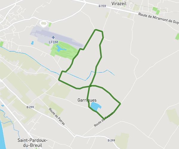
This walking route covers 2.522mi starting from Sainte-Bazeille, Lot-et-Garonne. The walk is a loop trail and returns to the trailhead. This walk is rated as easy, plan for about 54m to complete it. The route has an elevation gain of 161ft and an elevation loss of 161ft.
Sainte-bazeille
Route details
21:25/mi
Pace
221 kcal
Calories burned
Loop trail
Route type
49ft
Min altitude
105ft
Max altitude
Route profile
161ft
Elevation gain
161ft
Elevation loss
49ft
Min altitude
105ft
Max altitude
How to get there
Trailhead: Avenue De Graveyron, 47180 Sainte-Bazeille
GPS coordinates of the trailhead: 44.53386, 0.09833 / 44°32'1'' N, 0°5'53'' E