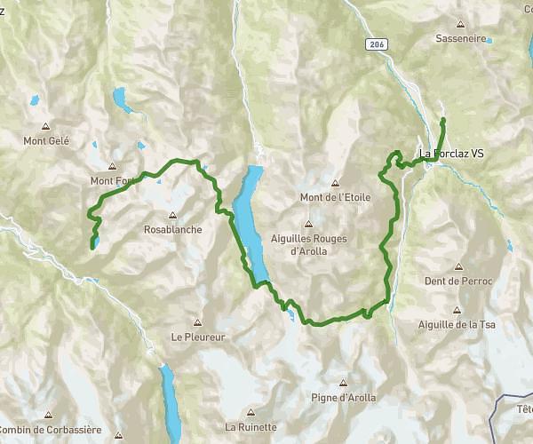
This hiking trail covers 18.669mi starting from Champex-Lac, Valais. The hike does not return to the trailhead and ends near 155 Chemin Des Chosalets, 74400 Chamonix-Mont-Blanc, France. This hike is rated as strenuous, plan for about 12h to complete it. The route has an elevation gain of 5469ft and an elevation loss of 6325ft.
J5 Champex Argentières
Route details
1.55mph
Speed
5506 kcal
Calories burned
12.0%
Avg grade
Point to point
Route type
3999ft
Min altitude
7211ft
Max altitude
Steep climb
Route profile
5469ft
Elevation gain
6325ft
Elevation loss
3999ft
Min altitude
7211ft
Max altitude
How to get there
Trailhead: Route Du Lac 134b, 1938 Champex-Lac, Switzerland
GPS coordinates of the trailhead: 46.03222, 7.10897 / 46°1'55'' N, 7°6'32'' E