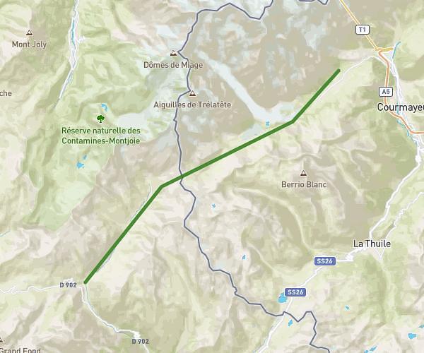
This hiking trail covers 17.895mi starting from Chamonix-Mont-Blanc, Haute-Savoie. The hike does not return to the trailhead and ends near 239 Chemin Clairière Du Belvédère, 74400 Chamonix-Mont-Blanc, France. This hike is rated as strenuous, plan for about 14h23m to complete it. The route has an elevation gain of 6906ft and an elevation loss of 6247ft.
lac blanc de Chamonix
Route details
1.24mph
Speed
6785 kcal
Calories burned
13.9%
Avg grade
Point to point
Route type
3609ft
Min altitude
8314ft
Max altitude
High altitude
Steep climb
Route profile
6906ft
Elevation gain
6247ft
Elevation loss
3609ft
Min altitude
8314ft
Max altitude
How to get there
Trailhead: 50 Clos Des Châblettes, 74400 Chamonix-Mont-Blanc, France
GPS coordinates of the trailhead: 45.92483, 6.862533 / 45°55'29'' N, 6°51'45'' E