MapPlanner
3.204mi
Distance
3h15m
Duration
0.99mph
Speed
1093ft
Elevation +
1093ft
Elevation -
1490ft
Min altitude
2507ft
Max altitude
Easy
Level

Cascades d'Angon

View of the lake from the path to the waterfall
Path of the waterfall
View on the castle of Duingt
Les Poiseaux
Les Poiseaux

Route details

Explore this hiking route of 3.204mi starting from Talloires-Montmin, Haute-Savoie. The hike is a loop and returns to the starting point. This hike is rated as easy, plan for about 3h15m to complete it. The route has a positive elevation gain of 1093ft and a negative elevation loss of 1093ft.

Description of the route by the creator

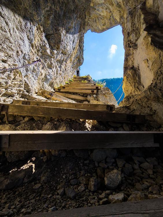
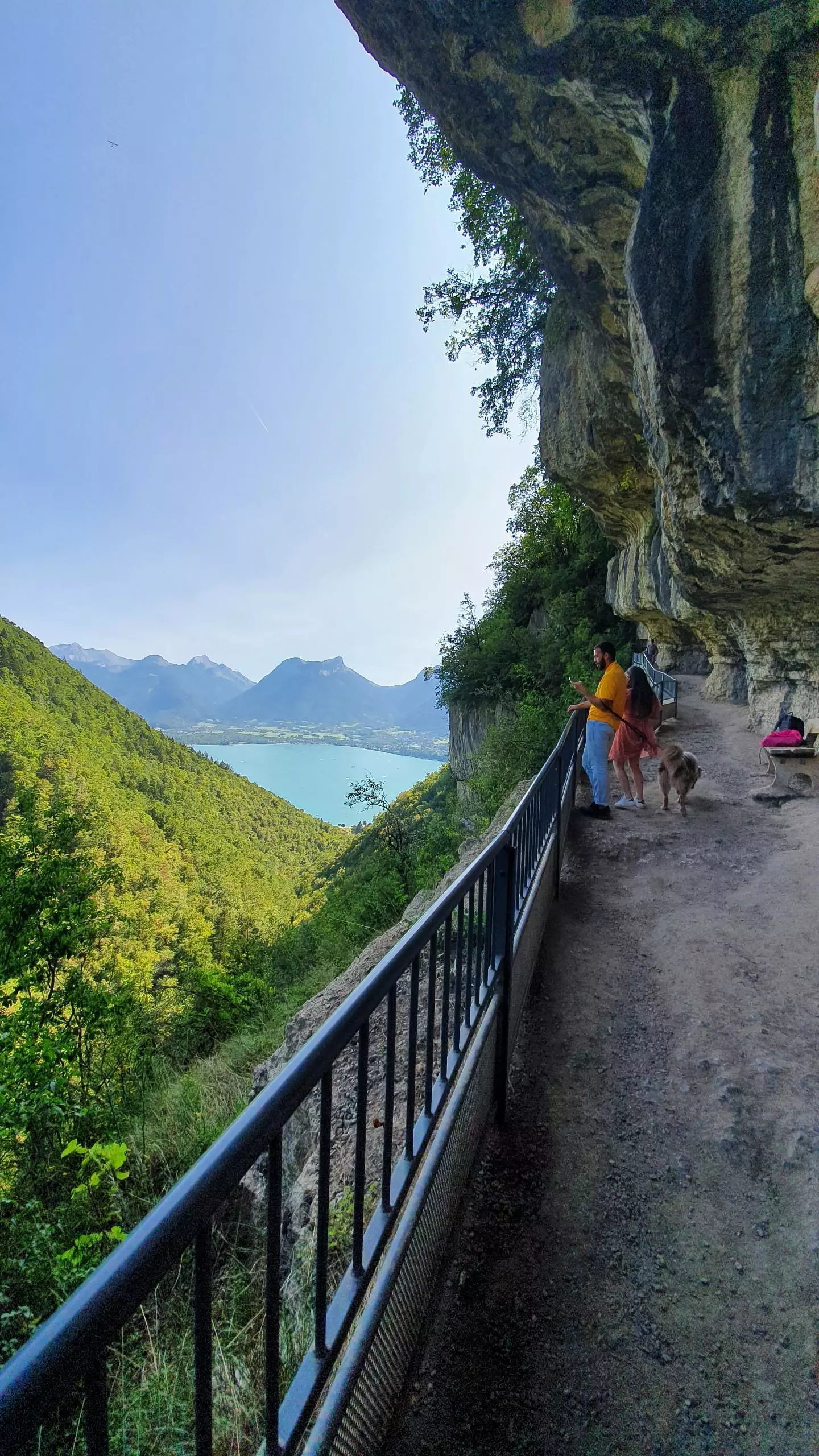
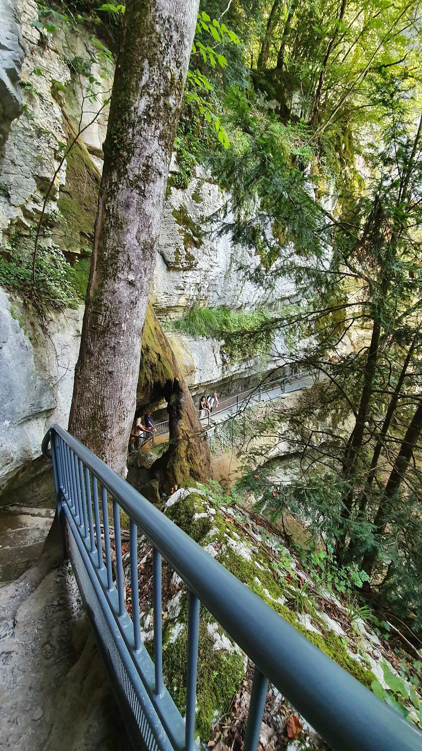
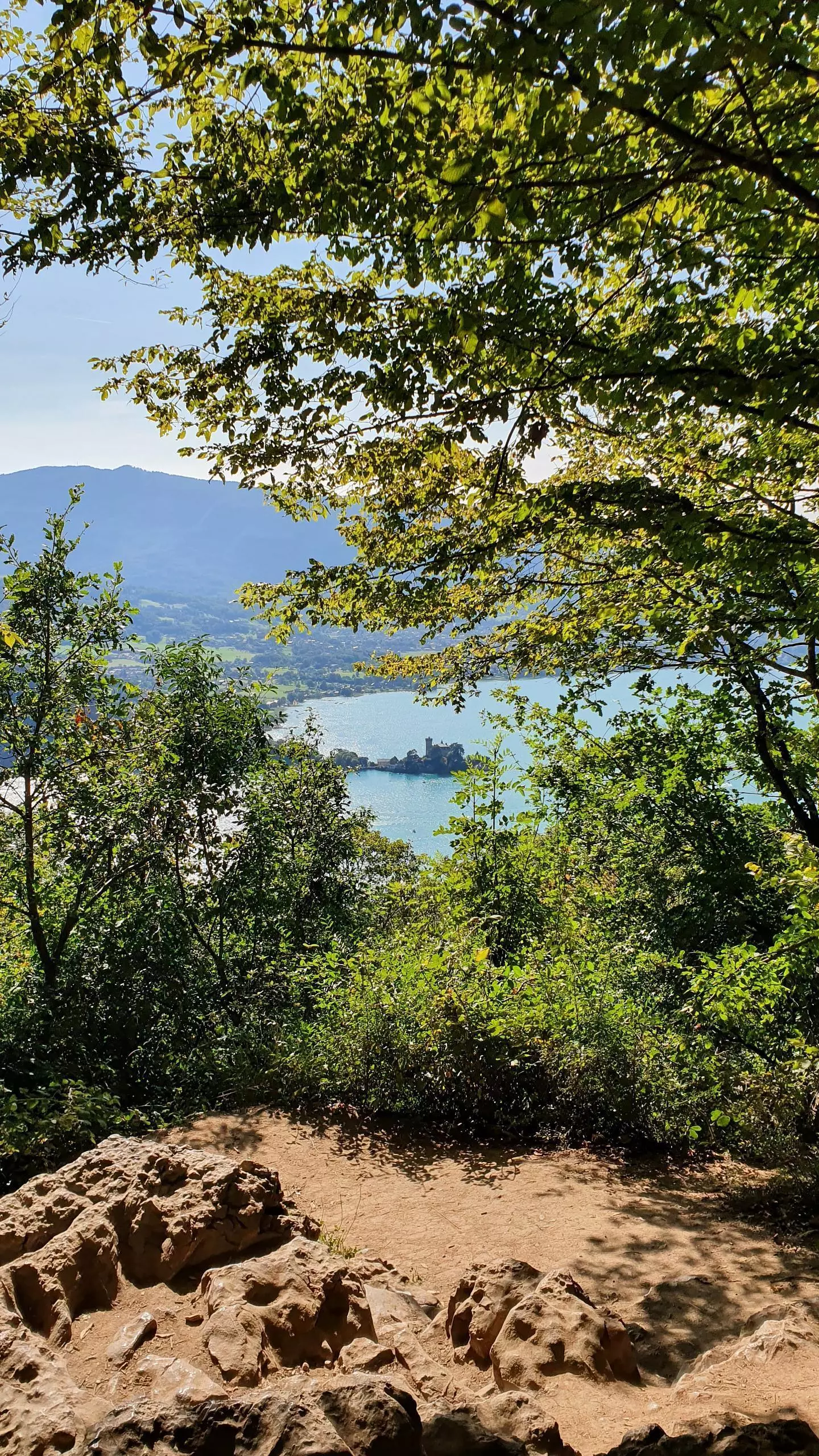
From the Angon public parking lot, join the path that leaves the vineyard road. Go up to the sign Cascades d'Angon. Walk back and forth to the waterfall. On the way back, turn right to pass the Pont des Fées. Continue the tour passing by the top of the waterfall to the hamlet of Les Poiseaux. From the hamlet, take the path that goes down through the road to go back down to Angon.

(Description automatically translated)
Annecy

Route profile

1093ft
Elevation +
1093ft
Elevation -
1490ft
Min altitude
2507ft
Max altitude

How to get there

Route starting point: Route D'angon, 74290 Talloires-Montmin

GPS coordinates of the starting point: 45.82537, 6.2233 / 45°49'31'' N, 6°13'23'' E