MapPlanner
2,45mi
Distance
2h5m
Duration
1,17mph
Speed
1729ft
Elevation +
1729ft
Elevation -
3077ft
Min altitude
4190ft
Max altitude
Medium
Level

Belvédère du Pas du Roc

Route details

Explore this hiking route of 2,45mi starting from Fillière, Haute-Savoie. The hike is a loop and returns to the starting point. This hike is rated as intermediate, plan for about 2h5m to complete it. The route has a positive elevation gain of 1729ft and a negative elevation loss of 1729ft.

Description of the route by the creator

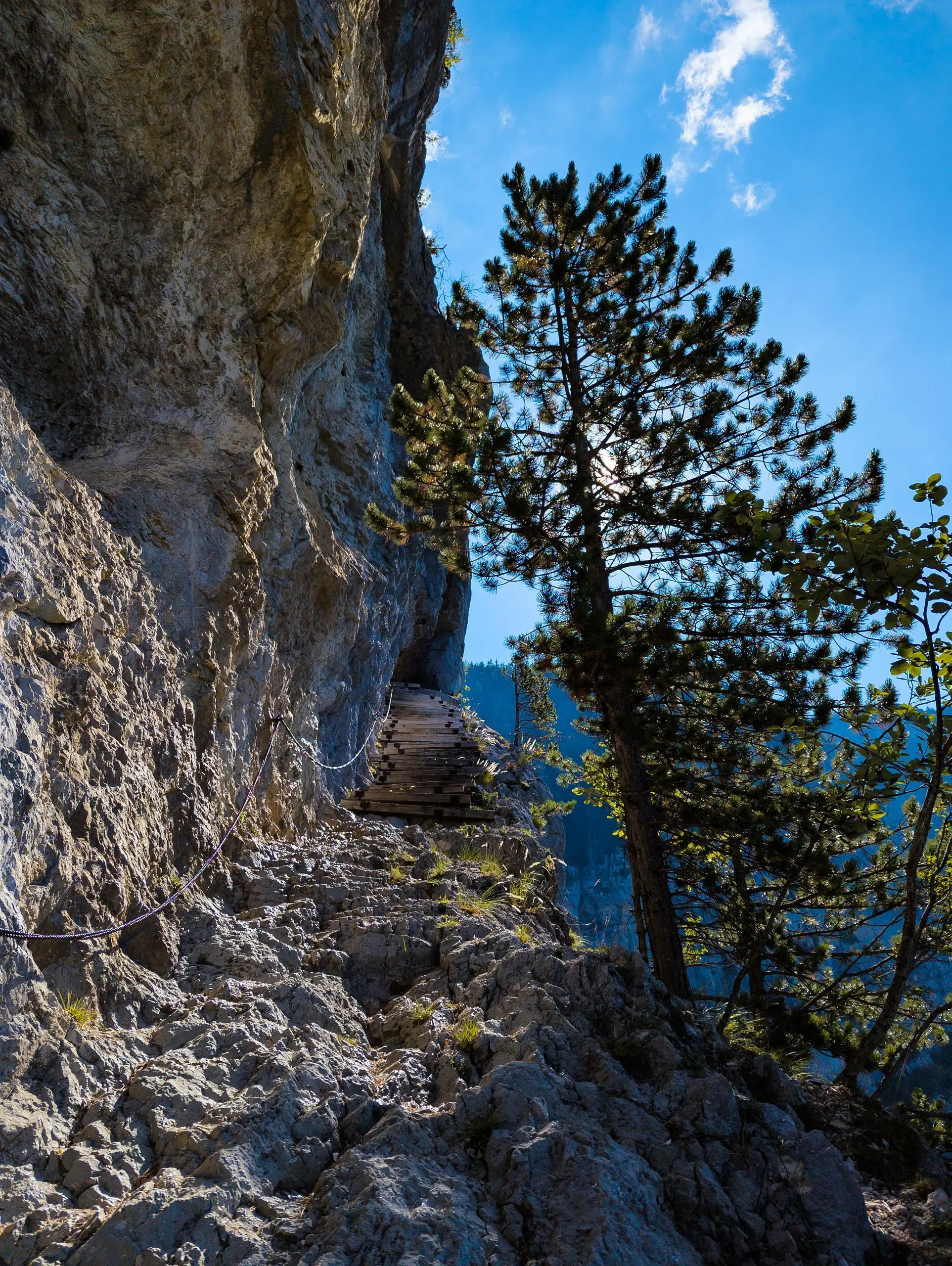
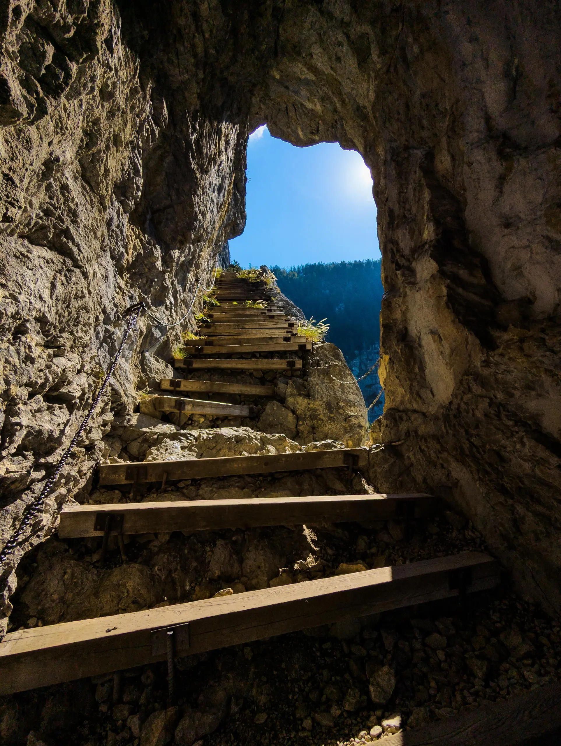
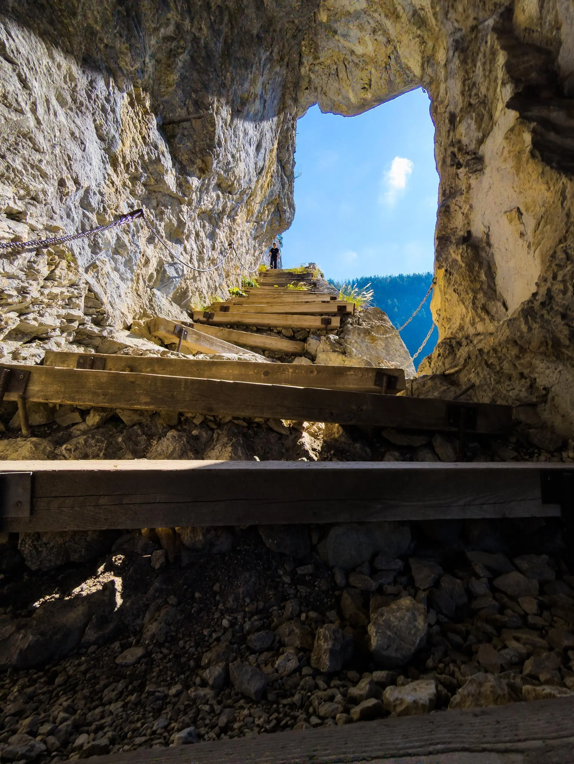
Park by the roadside and follow the signs to the Pas du Roc lookout. The path is easy to follow with a medium gradient.

(Description automatically translated)
Bornes

Route profile

1729ft
Elevation +
1729ft
Elevation -
3077ft
Min altitude
4190ft
Max altitude

How to get there

Route starting point: Route Des Glières, 74570 Fillière

GPS coordinates of the starting point: 45.9698, 6.29836 / 45°58'11'' N, 6°17'54'' E