Terminals: runs, hikes and bike rides
Discover all routes tagged « Terminals », located in the regions: Haute-Savoie.
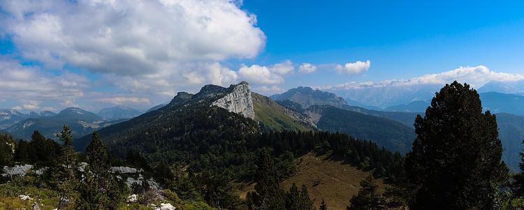
View of the Parmelan from the ascent path
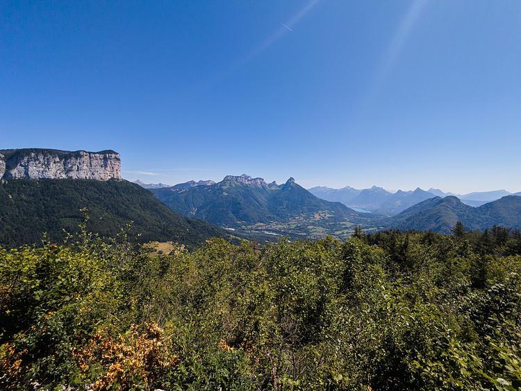
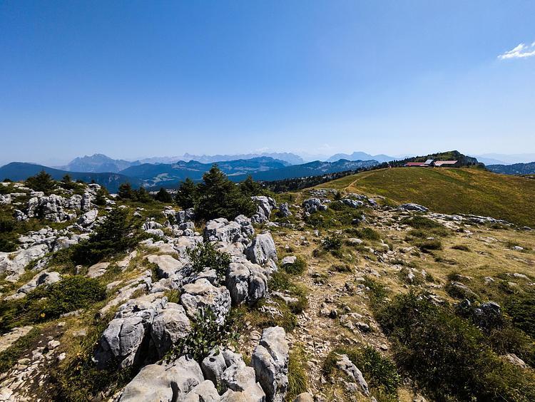
View of the Bauges from the orientation table
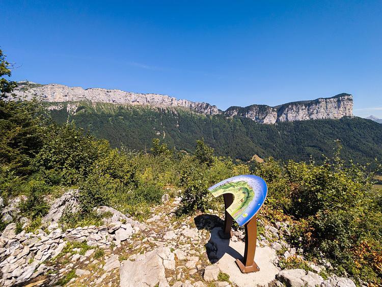
Mont Lachat orientation table
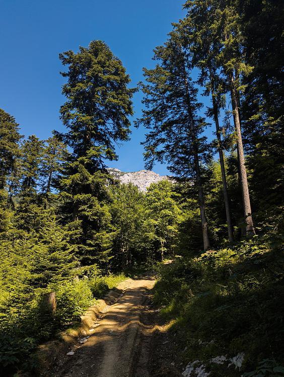
Chemin du Petit Montoir
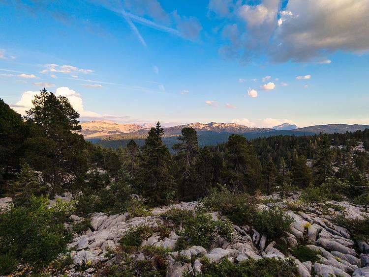
View of the Aravis mountains from Plan de l'Aigle
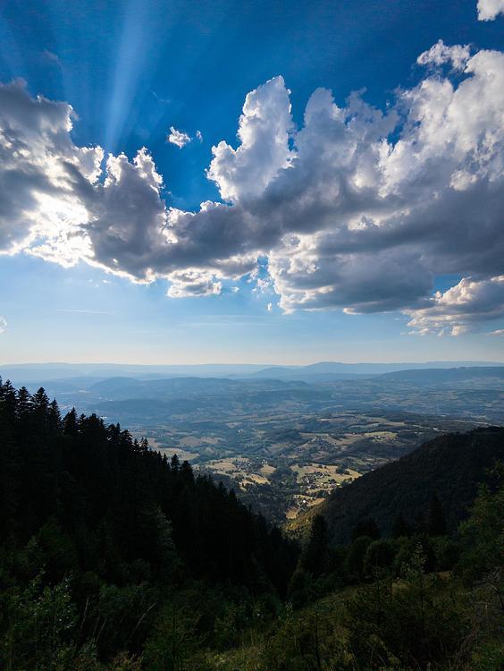
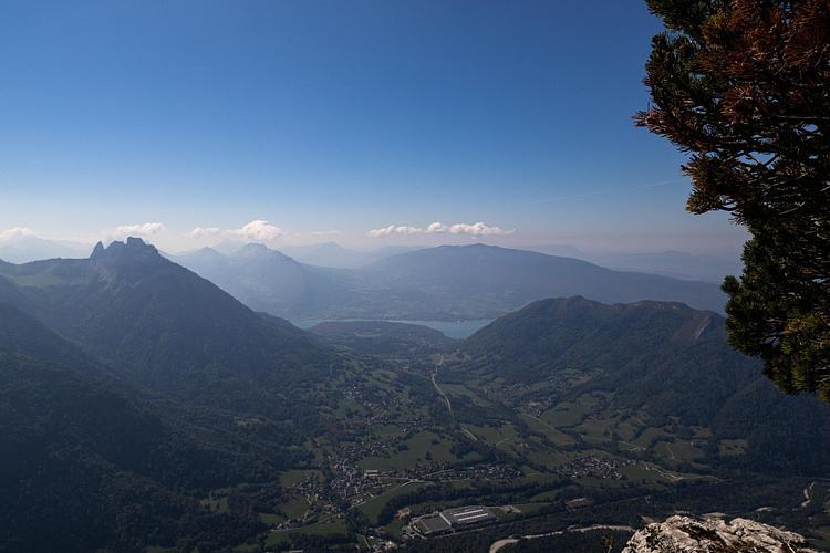
View of Lake Geneva from the Plan de l'Aigle
View of the Aravis mountains and Mont Blanc just before the refuge
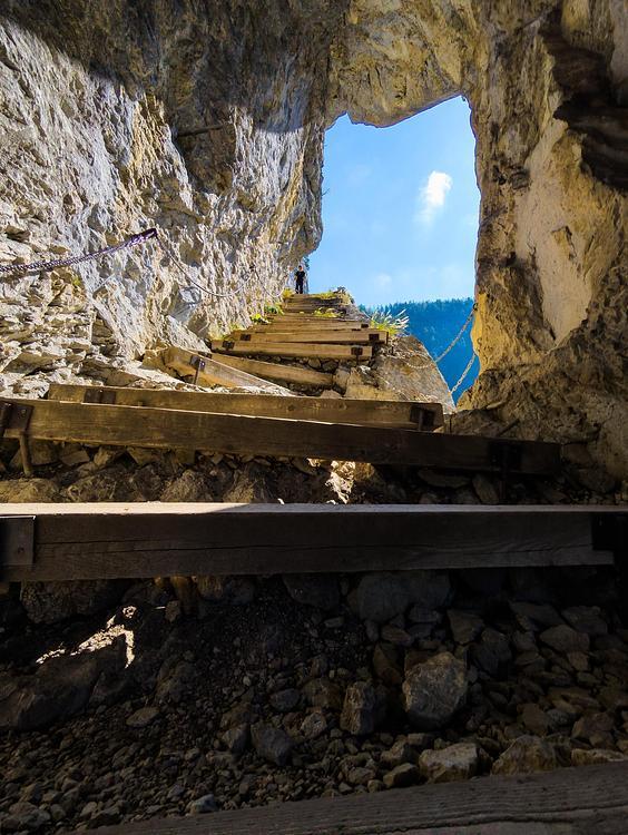
Lake Annecy from the summit of Parmelan
View of the Parmelan refuge and Mont Blanc
View of Mont Téret from the pass
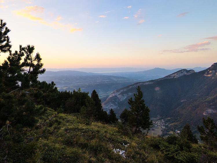
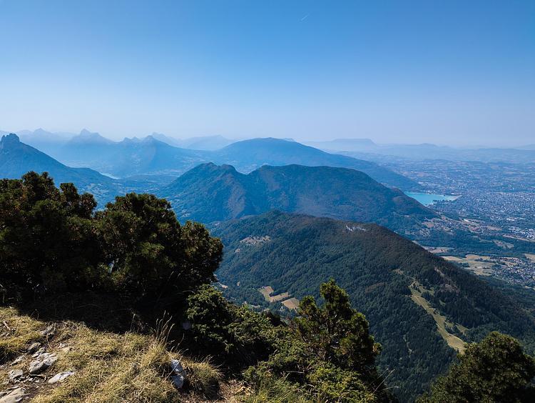
View of Lake Annecy
View of the 3 heads