MapPlanner
4.427mi
Distance
2h12m
Duration
+1939ft
Elevation gain
-1923ft
Elevation loss
Moderate
Level

Le Mont Lachat depuis Nâves-Parmelan

View of the Parmelan from the ascent path
View of the Bauges from the orientation table
Mont Lachat orientation table

Route details

2.16mph
Speed
1054 kcal
Calories burned
16.5%
Avg grade
Loop trail
Route type
2402ft
Min altitude
4193ft
Max altitude
Steep climb

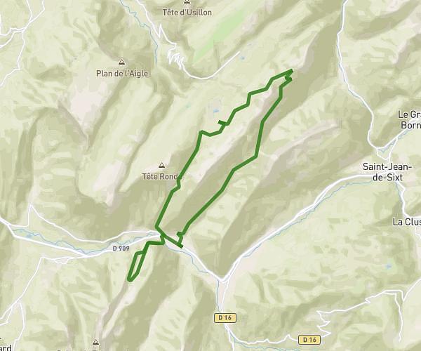
This hiking trail covers 4.427mi starting from Nâves-Parmelan, Haute-Savoie. The hike is a loop trail and returns to the trailhead. This hike is rated as moderate, plan for about 2h12m to complete it. The route has an elevation gain of 1939ft and an elevation loss of 1923ft.

Description of the route by the creator

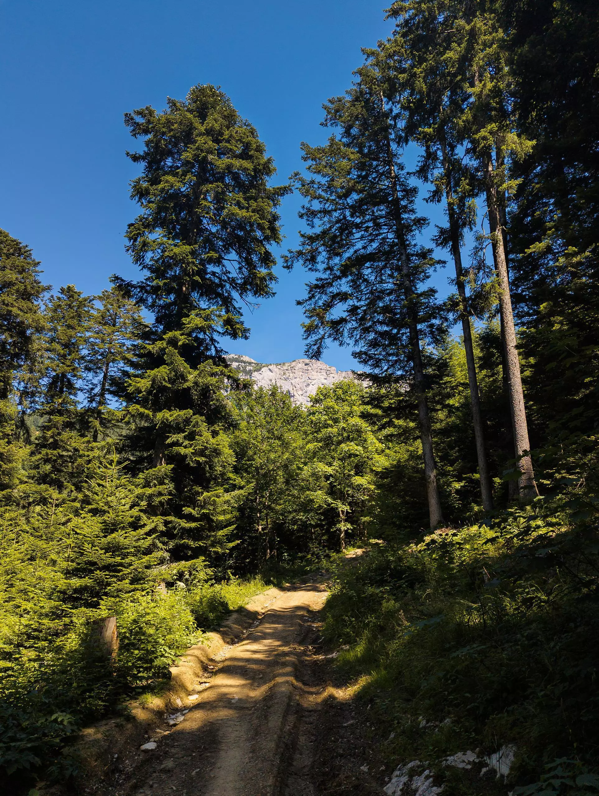
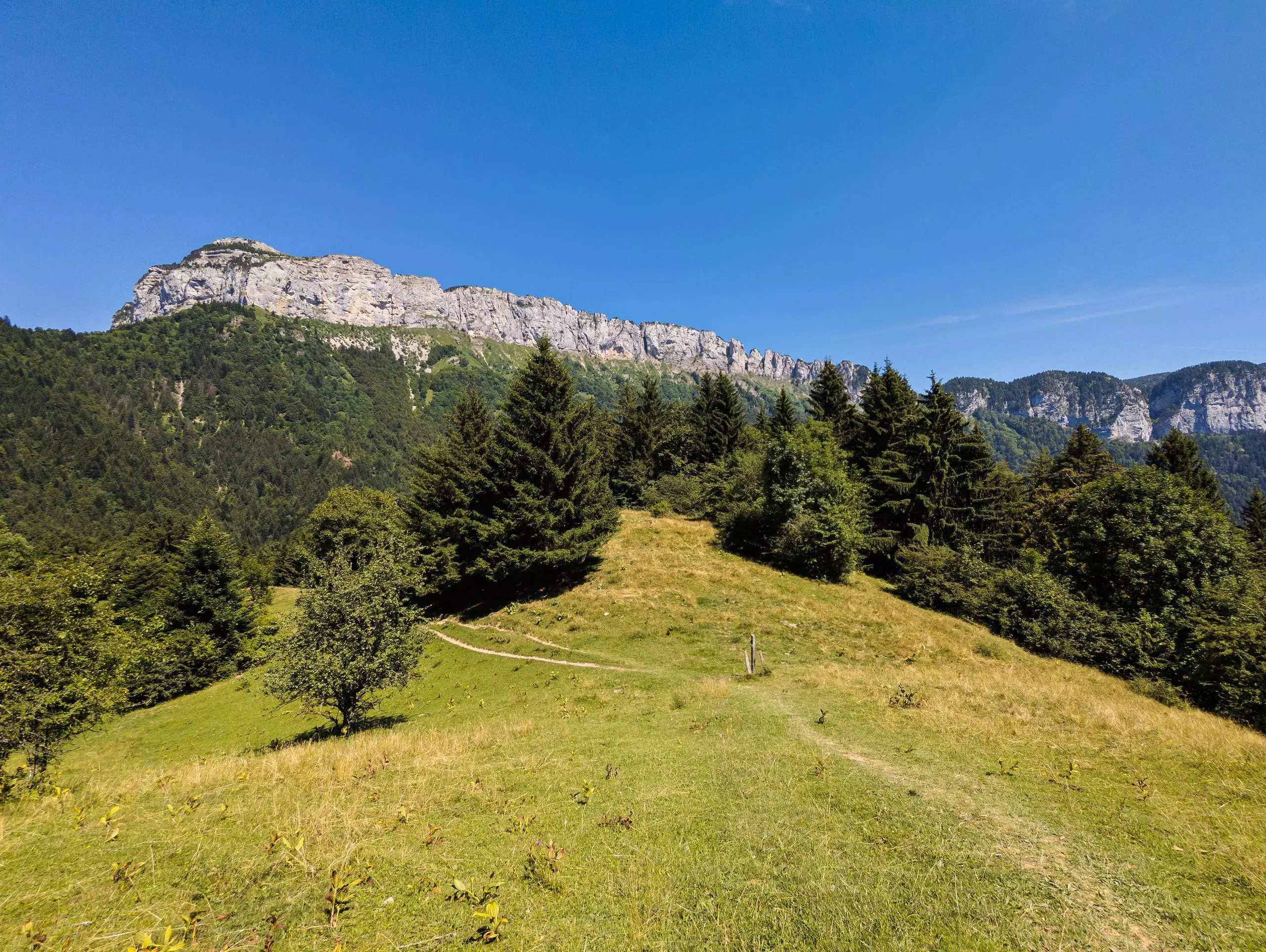
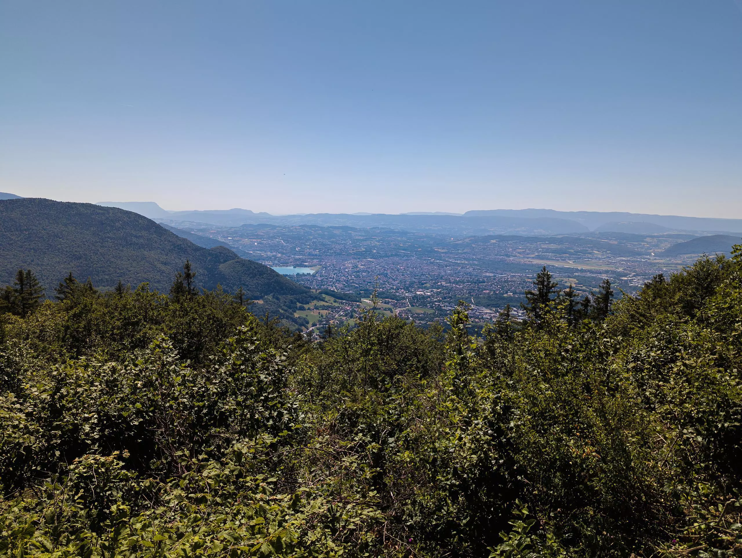
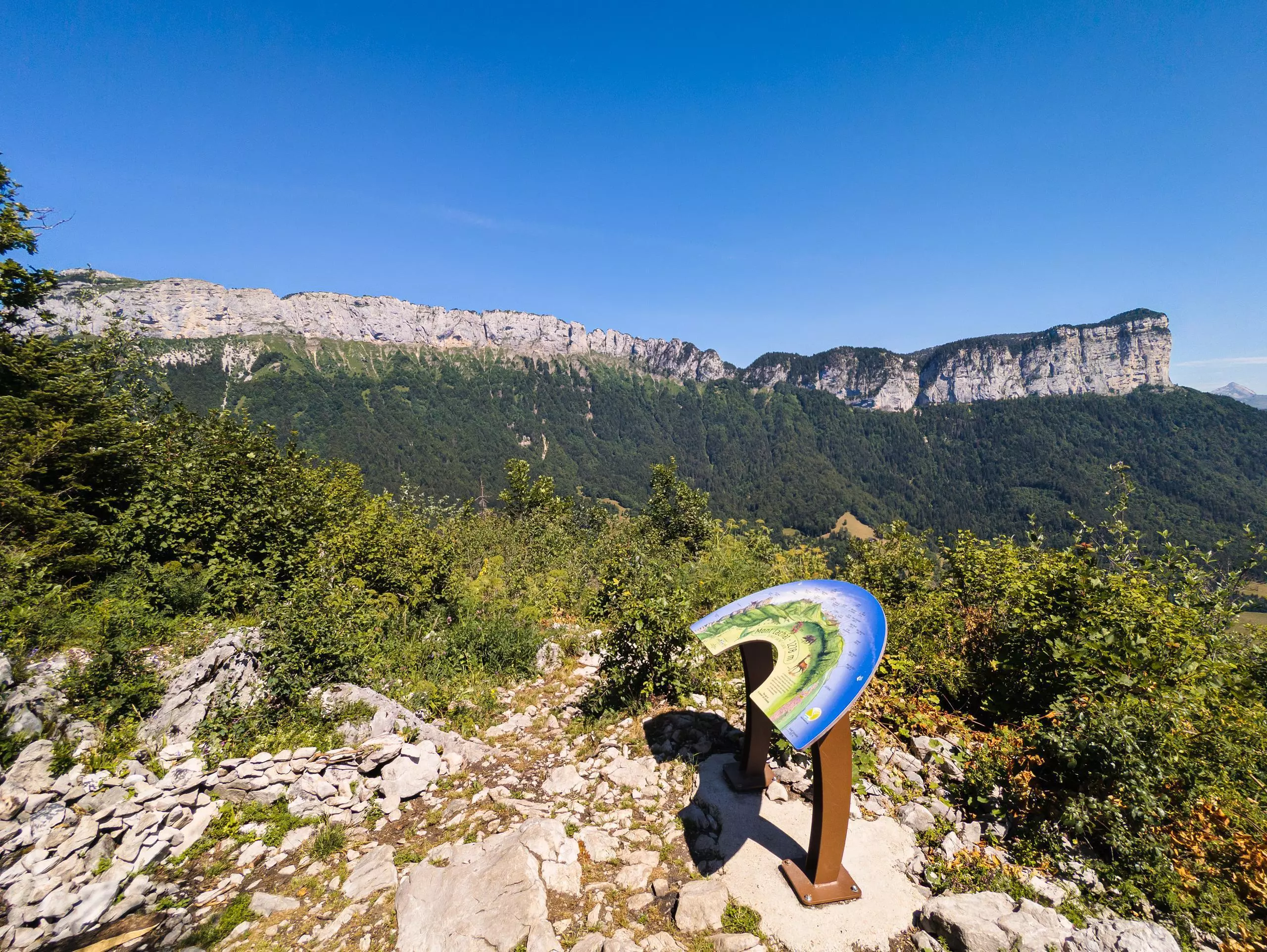
Park in the Combe des Buissons parking lot. Follow the signs to the Col de Barman. Turn right and climb to the summit of Mont de Lachat. Once you've reached the orientation table, take the path leading down behind the table. At the crossroads "Sur la montagne", take the small path on the left which leads back to the parking lot (path not signposted but easy to follow).

(Description automatically translated)

Route profile

1939ft
Elevation gain
1923ft
Elevation loss
2402ft
Min altitude
4193ft
Max altitude

How to get there

Trailhead: 610 Chemin De Montfalcon, 74370 Nâves-Parmelan, France

GPS coordinates of the trailhead: 45.93332, 6.20115 / 45°55'59'' N, 6°12'4'' E

Caution: May Cross Private Property

This route may pass through or near private property. Always respect posted signs, obtain permission where required, and follow local trespassing laws. MapPlanner does not guarantee public access along any route.

Safety Notice

Trail and road conditions may change without notice due to weather, construction, or other factors. Always verify current conditions before heading out. You are responsible for your own safety — follow local signage, obey traffic laws, and use your best judgment on the trail.