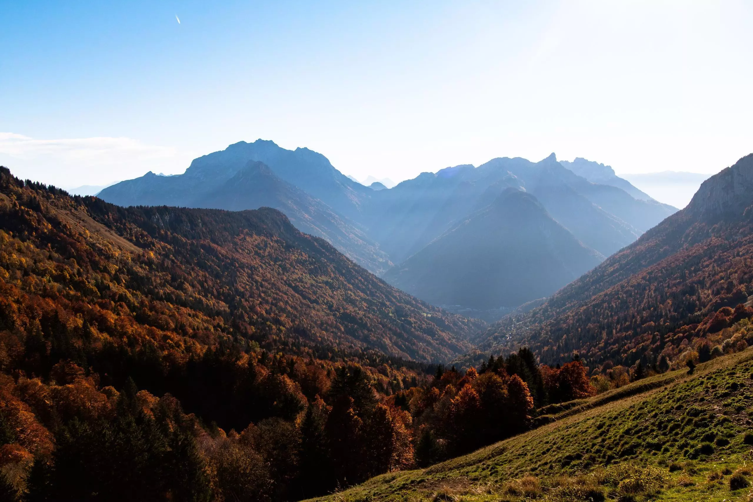
This hiking trail covers 4.092mi starting from Thônes, Haute-Savoie. The hike is a loop trail and returns to the trailhead. This hike is rated as moderate, plan for about 3h25m to complete it. The route has an elevation gain of 1991ft and an elevation loss of 1998ft.
Description of the route by the creator
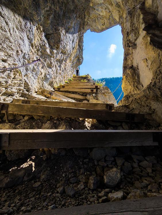
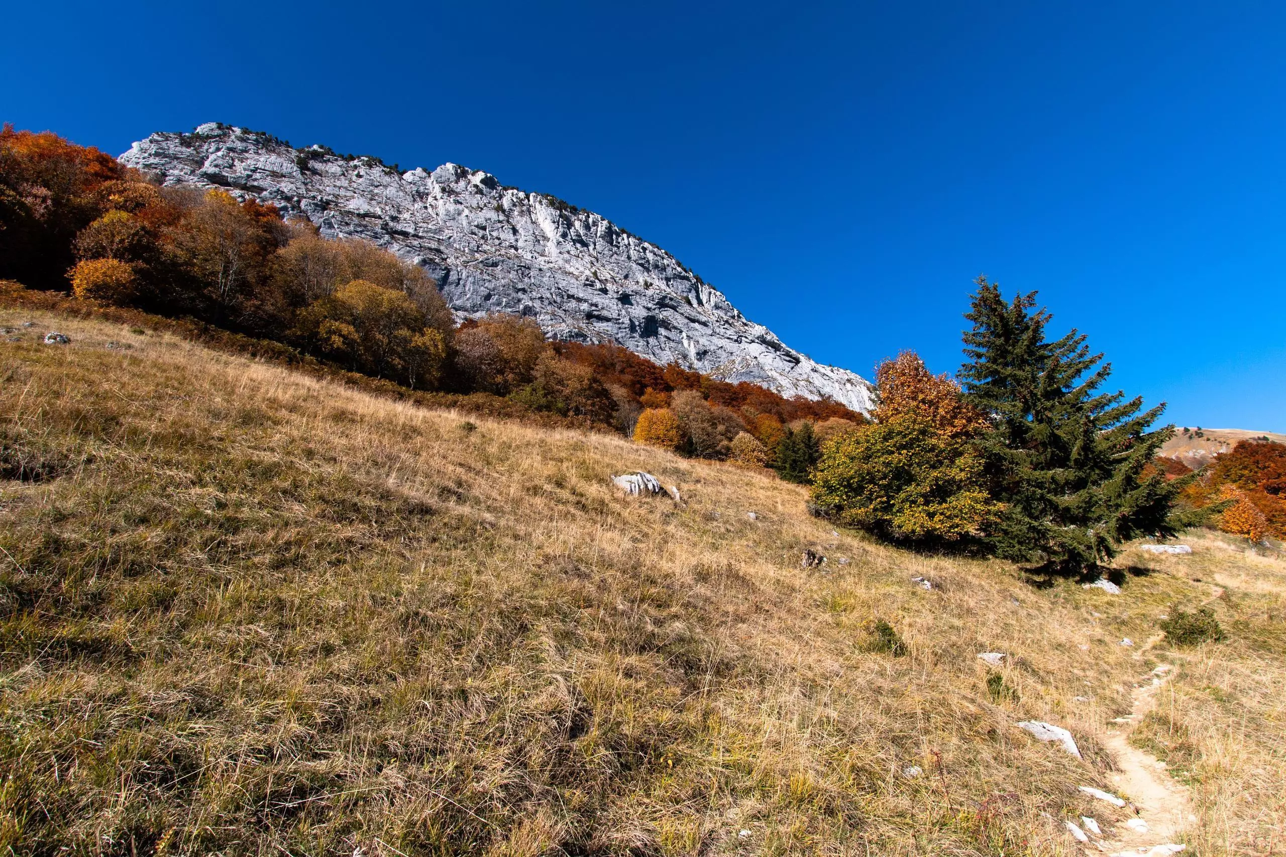
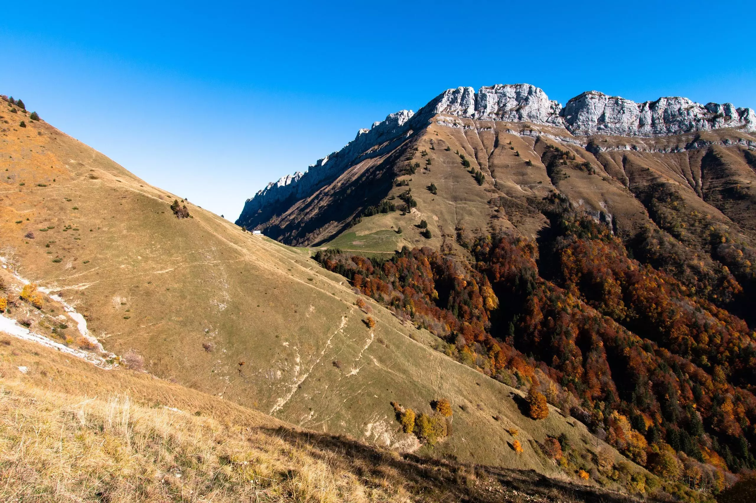
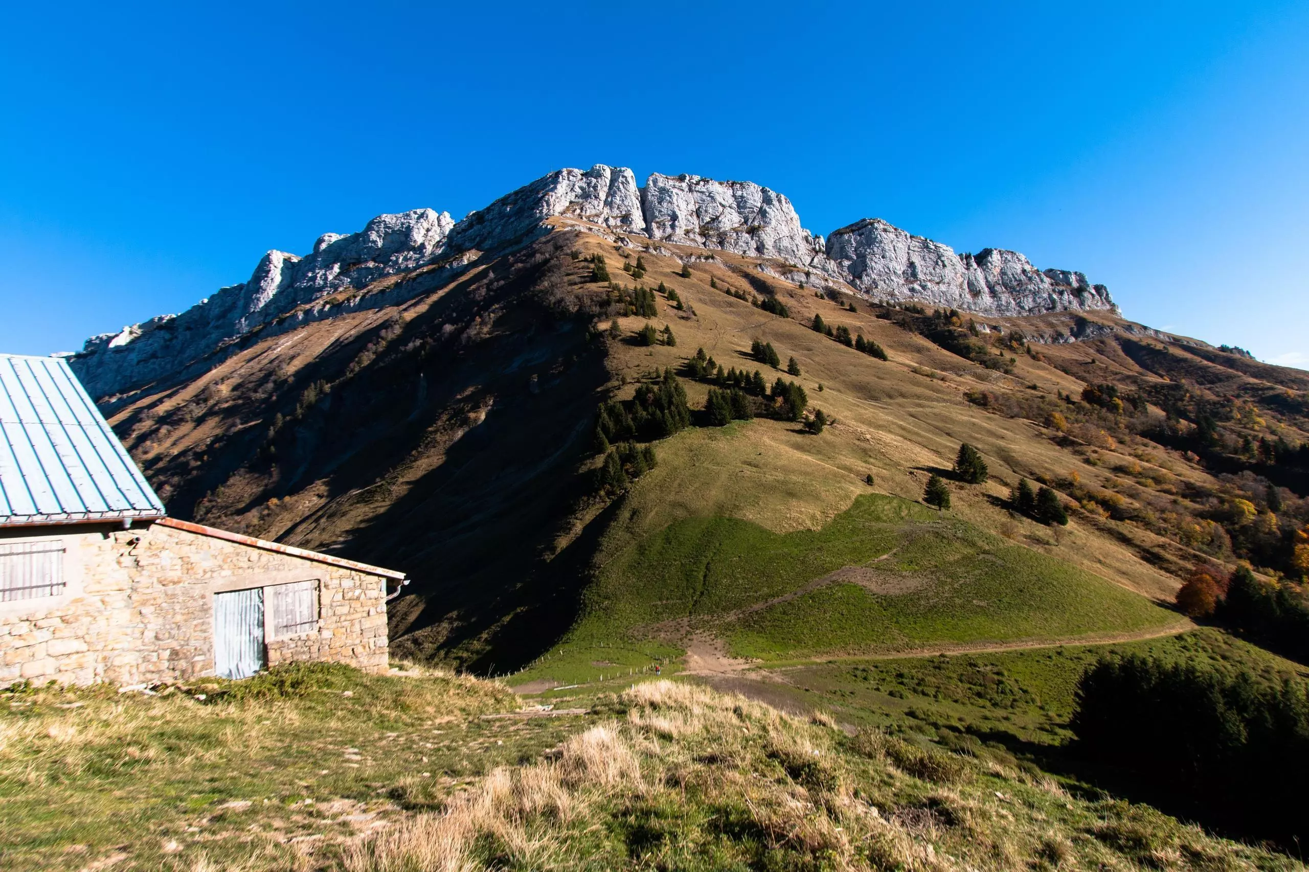
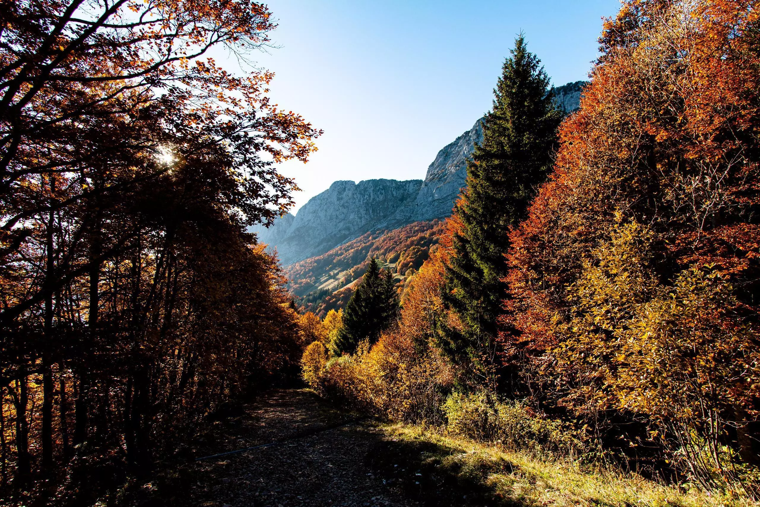
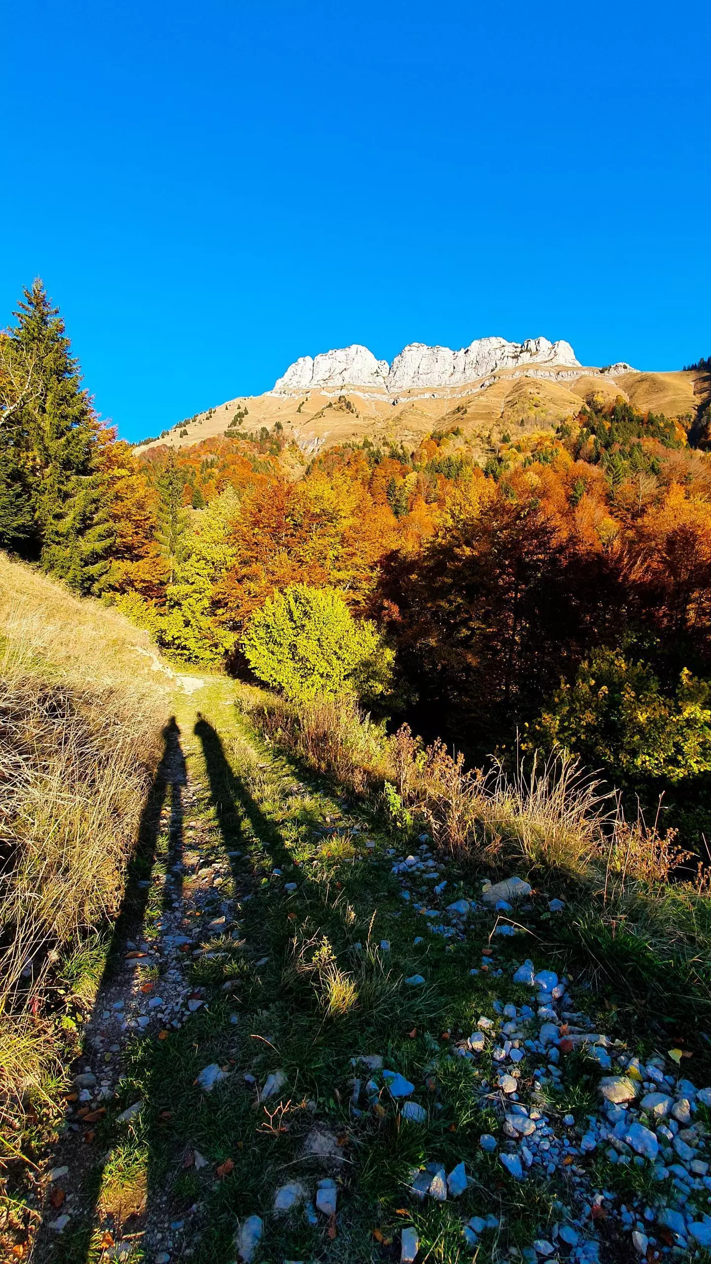
From the parking lot located at the hamlet of Crêt, follow the signs for the Col de la Buffaz. At the first sign on the track, take the path on the left to make a loop. Then follow the signs to the pass. Once at the pass, take the track to go down to the hamlet. Be careful, the first part of the track is very steep, do not walk on slippery ground.