Explore this hiking route of 5,641mi starting from Talloires-Montmin, Haute-Savoie. The hike is a loop and returns to the starting point. This hike is rated as intermediate, plan for about 4h50m to complete it. The route has a positive elevation gain of 1946ft and a negative elevation loss of 1939ft.
Description of the route by the creator
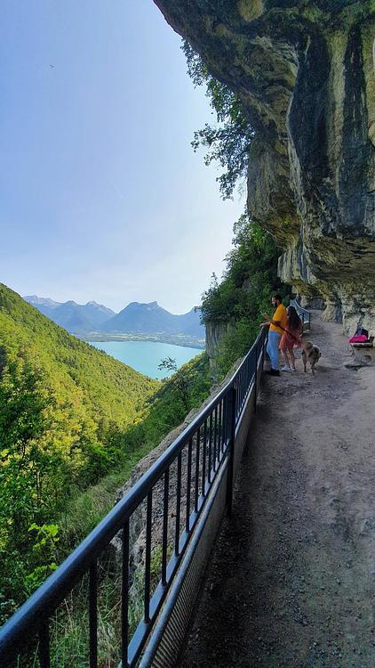
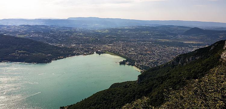
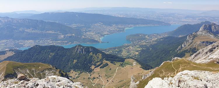
A well-marked loop with beautiful views of Lake Annecy and La Tournette. Park at the Forclaz pass and follow the signs to the pass or to the chalets de l'Aulp. The beginning of the hike passes by the place where paragliders and hang gliders take off. Continue to climb, once arrived in a flatter area, a sign indicates a return path to reach the Pointe de la Rochette with a beautiful viewpoint. Return to the main path until you reach a second viewpoint on Lake Annecy. Continue on the path along the mountain until you reach the col de l'Aulp and just beside it the chalets. Return to the col de la Forclaz by first taking the wide road and then following the signs to the col. The path follows a river and then reaches a village close to the pass.
