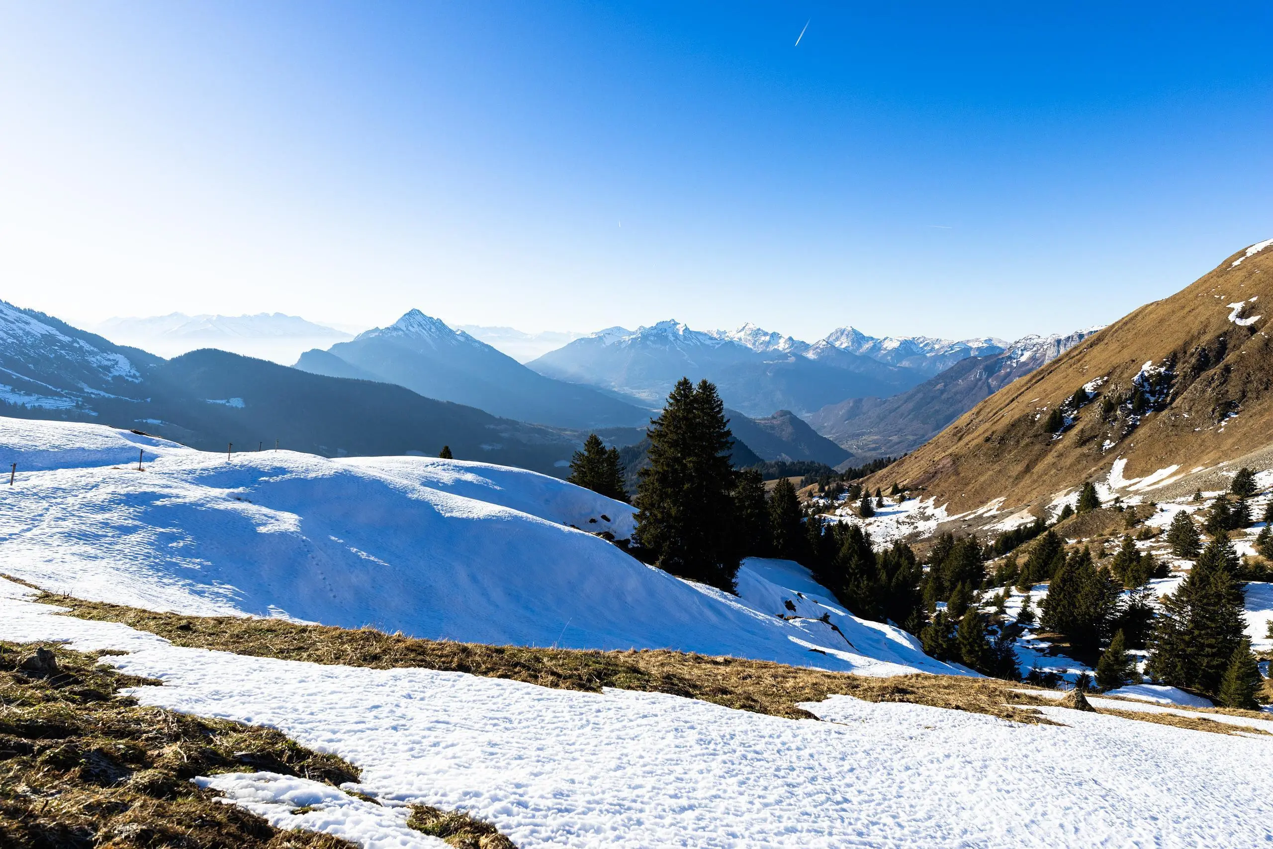
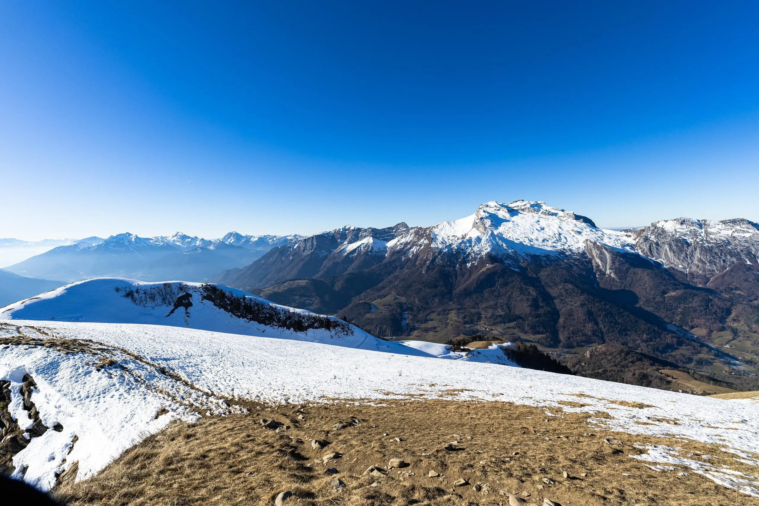
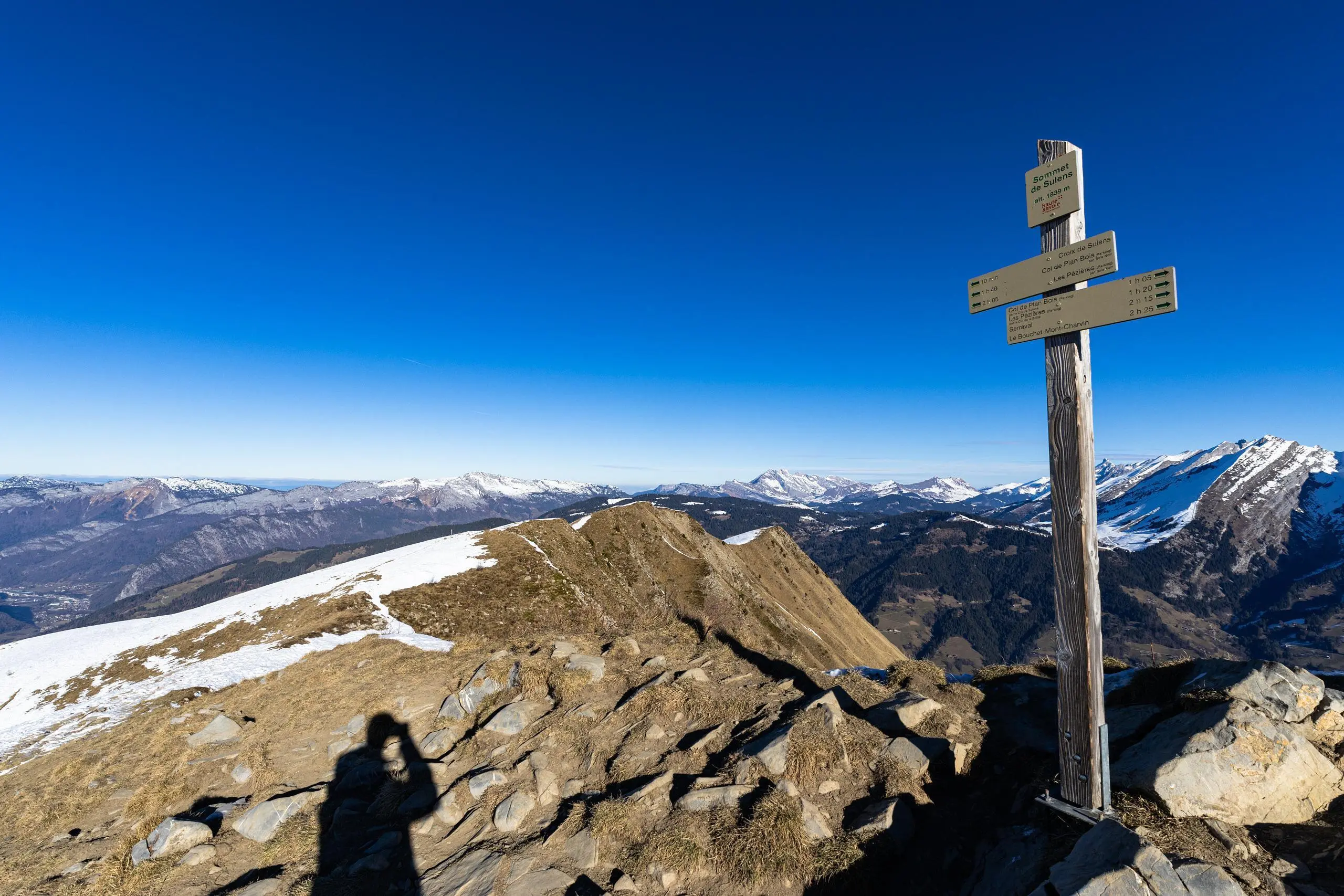
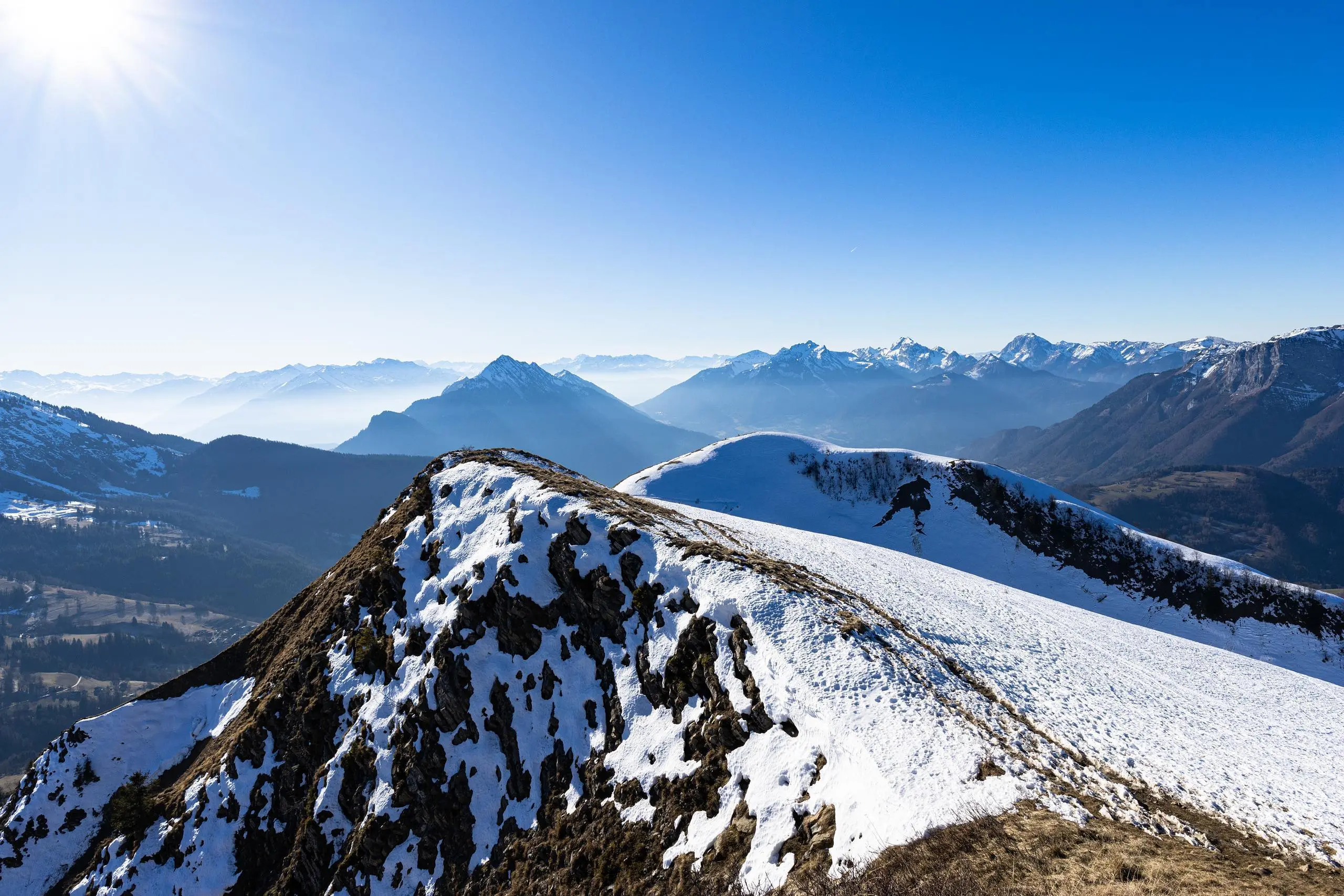
This hiking trail covers 8.938mi starting from Les Clefs, Haute-Savoie. The hike is a loop trail and returns to the trailhead. This hike is rated as strenuous, plan for about 3h55m to complete it. The route has an elevation gain of 3179ft and an elevation loss of 3209ft.
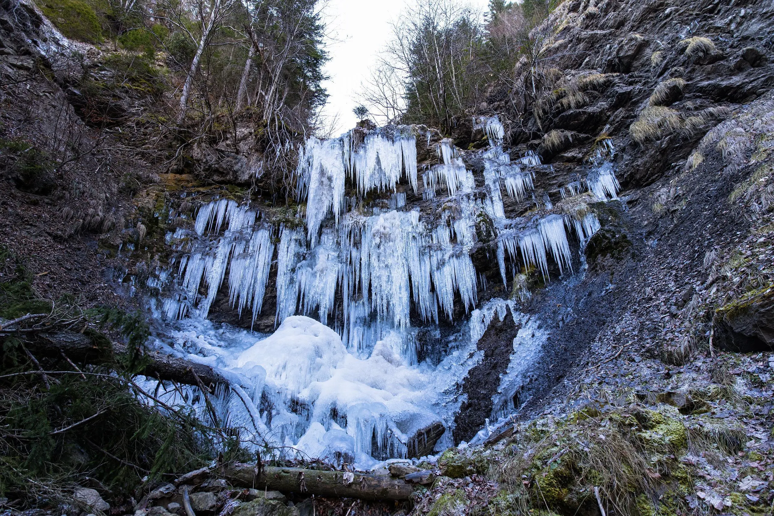
Montagne de Sulens

Route details
2.27mph
Speed
1836 kcal
Calories burned
13.5%
Avg grade
Loop trail
Route type
3957ft
Min altitude
6030ft
Max altitude
Steep climb
Route profile
3179ft
Elevation gain
3209ft
Elevation loss
3957ft
Min altitude
6030ft
Max altitude
How to get there
Trailhead: 6147 Route De Sulens, 74230 Les Clefs, France
GPS coordinates of the trailhead: 45.839993, 6.358567 / 45°50'23'' N, 6°21'30'' E


